
Hot Air
Cato Technologies LLC
Balloon flight companion for pilots.
The app provides balloon flight planning and tracking. It offers waypoint navigation, wind profiling, and flight recording.

Showing 1–20 of 1,000 ranked alternatives.
Cato Technologies LLC
Balloon flight companion for pilots.
The app provides balloon flight planning and tracking. It offers waypoint navigation, wind profiling, and flight recording.

Unicom TOV
Check and forecast updates
Displays current with minimum and maximum temperatures. Shows 72-hour and 10-day forecasts for global cities. Automatically detects location. Includes animated satellite maps with wind, rain, temperature, and cloud layers.

Ultramagic, S.A.
Track flights with offline maps and weather
GPS track with color-coded altitude layers to identify wind patterns. Crew members view real-time flight tracking on a webpage. Includes offline maps, weather forecasts, load calculations, and a flight logbook.


Blue Water Bay
Track sun and positions
Track sun and positions on an AE map. Observe their 28-day cycle and seasonal movement between Tropic of Capricorn and Cancer. Explore celestial mechanics through conceptual time and sky visuals. Share location-based observations with friends.

Autopylot, INC
Manage drone flights and airspace permissions
Manage drone flights with FAA-approved B4UFLY and LAANC services. Request airspace authorizations, check flight permissions, and plan safe operations. View real-time flight data and receive alerts for restricted areas.

Maple Media Apps, LLC
Track wind and weather conditions easily.
The app provides wind speed and direction, sunrise/sunset times, and temperature. Users can view hourly and daily forecasts, select units for wind speed and temperature, and choose compass declination.

Shelter Island Mapping Company, LLC
Tide charts and currents worldwide.
The app provides tide charts and current predictions for stations worldwide. It displays tide information, including water level changes, high and low tide times, and sun and moon rise/set times.

Bazimo GmbH
Track , set alerts, customize forecasts
View 7-day forecasts with today’s max and min temperatures. Check 'feels like' temperature and wind details including speed in multiple units. Track humidity levels and precipitation probability. Customize layout and preferred parameters.

Educational apps LLC
Calculate trajectories and compare cartridges
Calculate ballistic trajectories with detailed data including 4000 cartridges and 3300 reticles. Visualize trajectories, compare different cartridges, and adjust for barometric pressure, altitude, temperature, and wind.


rapidrabbit GbR
Convert wind speeds between common units.
The app converts between common wind speed units. It also converts wind speeds into the Beaufort scale.



Whiskey Victor LLC
Calculate fuel burn, adjust for winds, plan
Calculate fuel burn with altitude, distance, and wind adjustments. Generate time tables for loiter, transit, and efficiency planning. Adjust for varying altitudes and wind conditions. Input mission-specific data for accurate results.


Phan Nhat Đang
Calculate with accurate results
Calculate by entering speed and air temperature. Support units for air temperature including °C, °F, and Kelvin, and speed in mph, km/h, m/s, and knots. Include a temperature converter for unit conversion.
Diego Rodrigues
Calculate data with precision
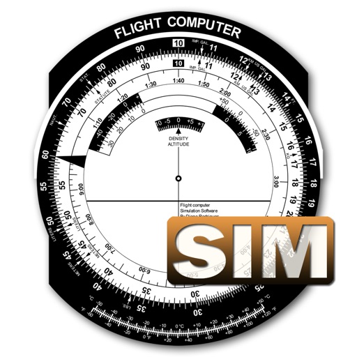
A utility simulates an E6B slide ruler for aircraft pilots. Perform conversions, wind corrections for low and high speed. Rotate, slide, and pinch zoom for precise control. Includes three calculation modes.
Apps are ranked by functional similarity, category fit, rating confidence, and popularity.