Plan trips by selecting stations and directions. Calculate optimal transfer points. Display real-time platform positions. Avoid long walks by standing directly in front of the correct carriage. Sync with metro schedules for accurate timing.
The app provides Washington State traveler information including a traffic map with cameras and alerts. It also includes ferry schedules, mountain pass conditions, toll rates, border waits, and train schedules.
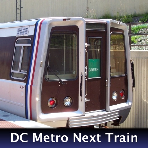
The app provides real-time train arrival information for Washington, DC Metro stations. Users can find their station and see when the next train will arrive, eliminating the need to wait on the platform.
Book rides within a designated service area using shared vehicles. Set pickup and drop-off locations. View real-time vehicle locations. Pay via mobile payment. Receive trip confirmations and updates. Track ride history and manage preferences.
Navigate public transport with real-time updates and planning. View interactive maps for easy panning and zooming. Find stops, schedules, and transfers. Get directions to specific locations like Speicherstadt or Blankenese.
Find transit routes between locations in supported cities. Choose from , Subway, Tram, and other rail systems. View step-by-step directions and estimated travel times. Save favorite routes and share trip details.
Access MTA NYC maps with day and night views. Check real-time status updates and delays. View Twitter feeds for breaking news and service alerts. Navigate stations and plan routes using interactive maps.
Track real-time routes, stops, and arrival times. View live schedules for FIU Connector. Receive alerts for arrivals. Navigate using maps and directions. Share locations with others. Set custom stop reminders.
The app provides offline subway maps for multiple German cities including Berlin, Hamburg, and Munich. Users can view fullscreen maps, zoom, and move around the map with touch gestures.
The app displays truck stops and travel plazas on a map view. Users can filter by type and zoom out, or use offline manual lookup to find locations by type, state, and city.
Navigate public transport in with real-time arrival times and waiting durations. View maps for , EMT, and Interurbanos lines. Calculate routes between stations. Save favorite stops and access timetables for accurate planning.
Plan trips by downloading city maps and searching routes via subway, bus, tram, or railway. View real-time maps and surrounding areas. Find optimal paths from current location without needing internet after installation.
Navigate MTR system with real-time schedules and station maps. Search for routes between locations. Tap to view nearby stations and exit points. Pay fares using an Octopus card. Receive updates on delays and service changes.
Access real-time , schedules, delays, and cancellations. Check station details, fares, and seat reservations. View maps and track locations. Receive reliable information for trip planning and adjustments.
Track real-time arrivals for Local and Commuter Buses, Metro Subway, and Light Rail. Search for routes and save stops. View live data for accurate scheduling. Receive updates on next vehicle arrival times.
Navigation allows users to plan trips and navigate without cellular service. View and edit maps based on OpenStreetMap data. Search waypoints and save locations offline. Track routes and share maps. Prioritize privacy with no user identification.