

Apps Like GPS Fields Area Measure App for iPhone and iPad
Areas, track routes, and navigate efficiently
Calculate distances and areas using GPS. route lengths and track movement. Access GPS Camera, Compass, and Speedometer for navigation. View Satellite, Normal, Terrain, and Hybrid maps. Locate nearby points of interest and monitor live positions.
Ranked alternatives
Showing 601–620 of 1,000 ranked alternatives.


Global Position
NIK PSARAGKATHOS
Track location and navigate routes
Track precise location with Decimal Degrees, DMS, UTM, and MGRS formats. Access topographic maps and route planning. Set waypoints and measure distances. Share coordinates via email or messaging. Sync with GPS devices for real-time navigation.


Rother: Hiking Tours & Maps
Bergverlag Rother GmbH
Route suggestions from professional authors.
The app offers route suggestions from professional authors and maps from qualified cartographers for outdoor experiences. Users can download maps for offline use, plan their own routes, and record adventures.


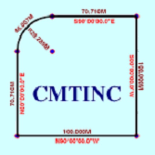
Deed Calls - Area - Perimeter
Corvallis Microtechnology, Inc.
Convert property descriptions into maps.
The app converts real property descriptions into boundary maps. Users enter angles and distances to draw property boundaries, displaying closure error, total area, and perimeter.

iPinPoint - Measurement tool
Vasileios Gkanis
Record angles on school photos
Measure angles in images using a built-in protractor . Select and adjust points on the image to calculate angles. Save and export results. Share data via email or cloud storage.

How we rank alternatives
Apps are ranked by functional similarity, category fit, rating confidence, and popularity.