
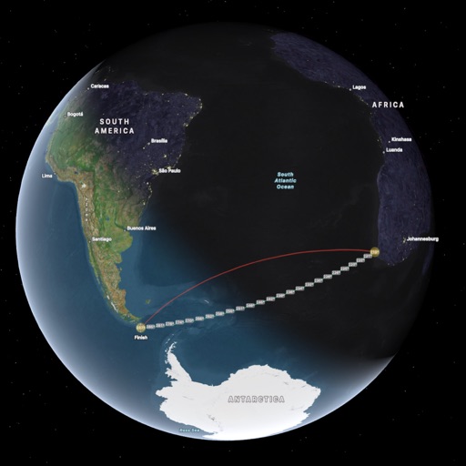
Apps Like ai.Orthodrome for iPhone and iPad
Ranked alternatives
Showing 141–160 of 1,000 ranked alternatives.


Odometer+
Zed Said Studio LLC
Track distance, save history, export CSV
Track distance using highly accurate GPS and location data. Save trips to history and export data as a .csv file. Runs in the background for continuous tracking. Suitable for road trips, biking, walking, and other motion activities.


Offline Maps: GPS Tracker GPX
SERGEI BEZDENEZHNYKH
Create and export maps with waypoints
Create and manage travel tracks with waypoints. Import and export maps in .gpx format. Use with unlimited storage. Access background barometer and pedometer data. Display color gradients for speed and height.

SkiPal - Accurate Ski Tracker
MYSTIC MOBILE APPS LLC
Track skiing routes and analyze trips
Track skiing routes with real-time location data and detailed trip measurements. View visualized routes on maps with distance and elevation metrics. Log ski sessions and analyze performance statistics.


Handy GPS lite
Anthony Dunk
Track routes, record trails, and return safely
View current location in UTM or lat/lon formats. Record and save waypoints. Track movement with up to 40 tracklog points. Navigate using GPS for hiking, mountain biking, and kayaking. Switch between coordinate systems. Store up to 3 waypoints.

FLYLOG.io - For Pilots
Breele s.r.o.
Log flight data and import records
Log flight details with a clean interface and built-in audit tools. Import records from airlines, CSV, Excel, or paper logs. Download and autofill flights using ADS-B data. Export logs in formats compliant with international aviation regulations.



Memory-Map
Memory-Map, Inc.
Navigate with offline maps and GPS
Turn your iPhone or iPad into an outdoor GPS or marine chart plotter. Use detailed Topo maps or NOAA marine charts for navigation. Access maps offline without a network connection. View GPS location without mobile signal.


GPS Plus - All In One GPS
Minh Nguyen
View location data and save coordinates
View current location details including latitude, longitude, altitude, and address in Decimal or DMS format. Track trip data such as distance, speed, and maximum speed. Save location and trip information for later review.

Topo Maps
Mappendix Limited
View topographical maps on iPhone.
The app provides over 70,000 topographical maps from Natural Resources Canada and USGS. Users can view maps and search for over a million features without a network connection after downloading.

MiCycle Pro
OXiGENATOR LLC
Track routes on bike or trainer
Track cycling routes with GPS/GLONASS for location, speed, and elevation. Monitor power via Bluetooth or ANT+ sensors. Record cadence and compensate for single-side power meters. Save and review ride data. Sync with Apple Health.

Track4Facts PRO: Drag & Track
Klaus Neuendorf
Track routes and analyze speed data
Record driving routes with GPS tracking. View speed, distance, duration, and average speed. Analyze maximum speed, acceleration times, altitude changes, and stops. Display data in charts for performance review.

Flashcards Maker: Study Clever
APPSPRINGS, TOO
Create with AI and hints
Create with AI to learn foreign words, historical dates, and other terms. Add photos, audio, or video as hints. Use the camera to generate by identifying objects and providing translations. Track progress and review cards for memorization.

Breadpad - SPICE Simulator
FreshBizOpps, LLC
Simulate circuits and analyze signals
Simulate electronic circuits with engine and virtual instruments. Add components to a breadboard and connect them. Analyze signals using oscilloscope and logic analyzer. Export simulation data. Create or customize electronic parts.
How we rank alternatives
Apps are ranked by functional similarity, category fit, rating confidence, and popularity.