
Apps Like ai.Orthodrome for iPhone and iPad
Ranked alternatives
Showing 281–300 of 1,000 ranked alternatives.

Boating Logbook: Skipper
Axel Le Pennec
Record and store all sea activities.
The app records boat trips with GPS position, course, speed, and duration. Users can log weather, crew, boat details, and incidents, with access to speed and distance statistics.


OutDoors GPS France - IGN Maps
RoadTour LLC
Find routes, track your path, download
View topographic, satellite, and road . Download official IGN for offline use. Find and follow hiking and biking routes across Europe. Record, save, and share routes online. Set waypoints and track progress. Navigate without cellular signal.


GPS Coordinate Recorder
建武 张
Record, share, and view GPS locations.
The app records GPS latitude and longitude. Users can edit location names and descriptions, view all recorded information on a list or map, and export data in multiple formats.


Traseo. Tourist routes & maps
Amistad Spolka Z Ograniczonia Odpowiedzialnoscia
Plan , navigate, and explore
Plan using offline and save them to My Map. Pin points of interest with descriptions and photos. Navigate existing or to any location. Record trips and display elevation graphs. Export as .gpx files. Integrate with Garmin. Buy professional .





AGRIplot
Sharpe Technology Consulting
Plot areas and calculate distances.
The app plots areas on a map by adding landmark points or dropping pins. It calculates enclosed area and distances between points, with options to add interest points and photos.


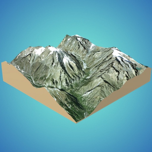
3D GIS Digital Elevation Model
Andres Narvaez
Generate 3D models from internet or cloud
Create 3D models from online sources like Bing Maps or local cloud points. Export data as CSV, TXT, STL, or OBJ. Modify models by cutting, scaling, and animating. Calculate surface areas and volumes in real-world units.

My GPS Area Calculator
MYSTIC MOBILE APPS LLC
Measure spaces with GPS or manual points
Measure areas using GPS or manual map points for accurate calculations. Switch between and distance modes. Save measurements for later access. Use compass navigation for directional guidance.
IPEVO Whiteboard
IPEVO
Digital canvas for idea sharing learning
The app offers a digital canvas for idea sharing and distance learning. Users can annotate and sketch on a whiteboard or over live video, import images, and manage saved whiteboards.
How we rank alternatives
Apps are ranked by functional similarity, category fit, rating confidence, and popularity.