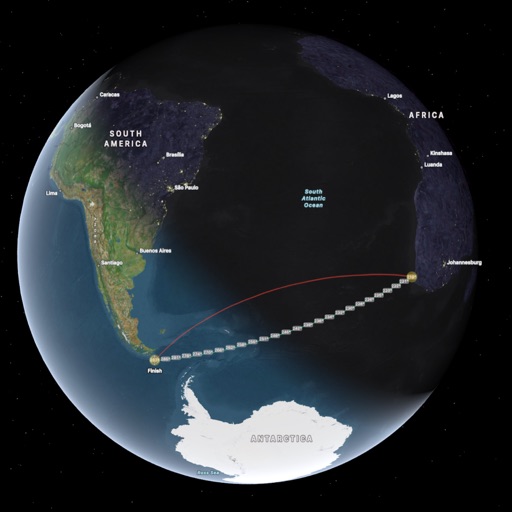
The app tracks outdoor activities and travel, showing distance, time, and elevation. It displays courses on a map, allows track import and sharing, and exports tracks for review on other services.
Plan and save customized routes using a map-based interface. Set start points and desired distances for automatic route calculations. Save routes for future reference.
Find latitude and longitude coordinates of your current location in decimal degrees and degrees-minutes-seconds. Tap coordinates to copy to clipboard. Save coordinates with a custom name. Share coordinates via email or messaging.
Study cards with adaptive quiz ordering based on performance and active learning. Take quizzes in multiple formats including spelling, multiple choice, and typing. Customize quiz settings for question count, card side, and order.
The app offers automatic map and traffic regulation updates, including signs and speed limits. It provides 24-hour traffic jam information and suggests alternative routes during trips.
Measure objects using AR by aiming your camera and dragging a virtual ruler. Calculate height, width, length, and area. View real-time measurements and save results for later reference.
Save and organize locations with titles, notes, photos, and voice memos. Create folders to group locations. Share across major map apps. Track and manage work sites, travel stops, or personal places. Set private access and view details.
Track behavioral with customizable forms and real-time updates. Log observations, schedule interventions, and generate reports. Share securely with team members. Comply with HIPAA and FERPA standards.
Monitor location, heading, pressure, temperature, altitude, speed, distance, and elapsed time in real-time. Track trips, share routes, and receive comprehensive built-in instructions. Customize settings and view data on a large, easy-to-read display.
Create and navigate custom routes with multi-stop routing. Manage waypoints and record tracks from rides. Save and review recorded routes for future reference.
The app provides a reference for English verb conjugations, searching 2000 verbs across 20 tenses. It includes audio pronunciation, example sentences, and translations in over 14 languages, with offline access.
The app allows users to create stop-motion animations on an iOS device. It offers features like onion skinning, frame editing, and manual or automatic camera adjustments.
Create and customize maps with advanced design tools and geographic information. Add markers, calculate distances, and track altitude and routes. Visualize administrative areas and fishing spots. Share locations and trajectories with friends.
Access vector and raster for . Create or import GPX/KML routes. Use voice prompts for route guidance. View tide and current predictions. Rotate with text remaining upright. Supports chart course orientation.