
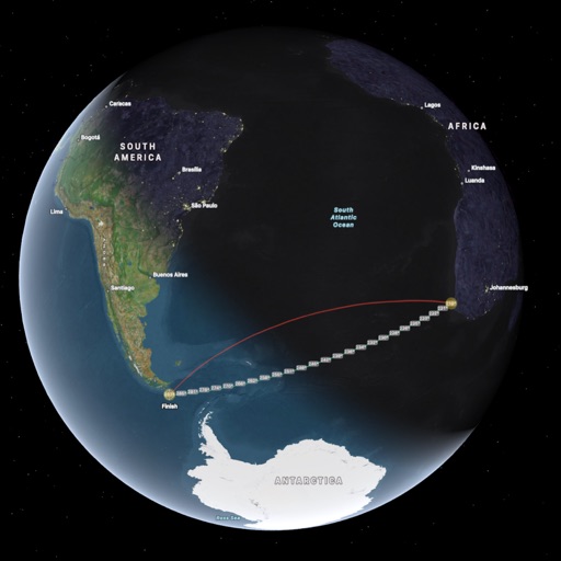
Apps Like ai.Orthodrome for iPhone and iPad
Ranked alternatives
Showing 181–200 of 1,000 ranked alternatives.


NZ Topo Maps
Rajan Fernandez
Download , find huts, track trails
Access offline topographic of New Zealand. Download and manage to conserve storage. Locate DOC huts, campsites, and hunting areas. Search for named locations. Import GPX routes and share via AirDrop. Measure distances on .

Mappa - Watch Maps
Nick Romano
Track workouts, view metrics, export routes
Record workouts with heart rate, speed, elevation gain, and other metrics. Import and export GPX and FIT files. View offline with custom tiles. Overlay routes from GPX, FIT, KML, or GeoJSON files. Generate walking and cycling directions.

OnPoint Trails: OHV Trail Map
Brenda Leon
Navigate trails, track routes, and map off-road
Plan and navigate off-road trails with detailed maps and turn-by-turn directions. Mark favorite routes and track progress. Share data and receive real-time updates on conditions. Sync with GPS devices for accurate navigation.

Global Locator
NIK PSARAGKATHOS
Position data in many formats.
The app provides coordinate reading and navigation for users needing exact position data. It supports multiple coordinate formats and works without a connection for conversions and saved places.

MapOut
Valnova GmbH
Draw routes and view elevation profiles
Navigation provides offline global maps for iPhone and iPad. Users can draw routes, view elevation profiles, and access detailed terrain maps without internet. Hikers and cyclists benefit from specialized route networks and clear map details.


iSailGPS : NOAA USA RNC Charts
James Associates Inc.
Plot courses and track your route
Use device as high-performance GPS receiver with USA Raster Nautical . Access without cell signal. Navigate safely in emergencies. Sync with chart plotter if available. Download for offline use. Track location and display real-time data.


Open GPX Tracker
Juan Manuel Merlos
Track routes, add waypoints, save maps
Create GPS traces with waypoints and save them as GPX files. Use offline maps for navigation without time limits or ads. Share track data and contribute to Street Map. Keep routes private and edit existing traces.

Classroom Teammates by iDoceo
iDoceo Studios Ltd.
Create teams and import students quickly
Create and manage teams either randomly or manually. Import students from CSV/XLS, Google , contacts, or . Sync data across devices via iCloud. Track team progress and manage activities efficiently.


Marine Navigation-USA Lake Map
Bist LLC
Navigate with voice prompts and route manager
Access vector charts, freshwater maps, and USACE river maps. Create or import routes using GPX/KML. Receive voice prompts for navigation. View tide and current predictions. Rotate charts with text remaining upright.

MapPath Pro
Julien Roze
Record, measure, and track trips.
The app records user trips, displaying tracks, position, and live information like speed and altitude. It also measures distances, areas, and perimeters by placing points on the map.


POI Toolbox
KLAUS HAFNER
Manage POIs, import files, create locations
Manage points of interest by creating, editing, and organizing them. Import GPX or KML files or extract POIs from tracking data. Rename, describe, and tag POIs. Create smart folders for categorization. Export selected folders as GPX files.
How we rank alternatives
Apps are ranked by functional similarity, category fit, rating confidence, and popularity.