

Apps Like Sam's Auto Tool for iPhone and iPad
Ranked alternatives
Showing 321–340 of 1,000 ranked alternatives.


All tools
ATEU Softwares
Stream camera feed to trusted devices
Is a utility that works offline and keeps data local. It includes a live camera feed for CCTV, walkie talkie over local Wi-Fi, compass for direction, and leveler for measuring.

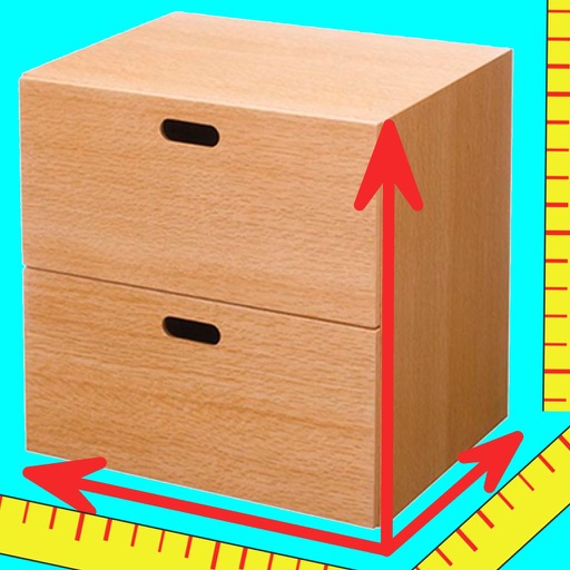
CamScale - Easy measuring & remodeling by camera
Prime System Laboratory Co.,Ltd.
Measure furniture and spaces with camera.
The app uses the iPhone camera to measure furniture width, depth, and height. Users can measure spaces and confirm furniture placement images within those spaces.


DashGo
桔 吴
Watch driving data and control dash cam
Monitor driving data including track, altitude, and speed. Connect dash cam via Wi-Fi for real-time video preview. Take photos, record videos, and download content for playback.

Altitude Compass
锦滔 欧
Measure and track location
Provides real-time , atmospheric pressure, latitude, and longitude data. Users can switch between GPS and device altimeter for readings. Camera integration allows photo capture with location data overlay.

Alert Position
Magnitude LLC
Motorcycle lean angle alert system.
The app displays the motorcycle's lean angle with audio and visual alerts. It records and shares locations where the rider reached their limit, allowing for later review or sharing with others.

Where Am I? - Locality Info
BIGDATACLOUD PTY LTD
Get in your language
Information is provided based on current location. Users can view administrative boundaries and select language for display. Information is retrieved instantly and supports 147 languages.


Snowtam
Brendan Wholihan
Cold weather tools for pilots.
The app decodes SNOWTAM and MOTNE reports, providing quick access to runway conditions and notification fields. It also calculates cold temperature altitude adjustments using a formula based on Transport Canada's chart.


GPS Altitude-海拔表
祥琦 孔
Share location with altitude and direction
Measure altitude, latitude, and longitude in real time. Display current direction using a compass. Show location with map-based coordinates and address. Share photos with altitude data on social networks.

Compass - GPS Altimeter
伟 雷
Navigate with real-time coordinates and altitude
Display current direction, altitude, latitude, and longitude. Show real-time barometric pressure and movement speed. Track geographic location. Switch between "Classic" and "Sunset" visual themes with premium color schemes.

Speedometer - GPS Speed
Donovan Lewis
Track , distance, and max
Track , distance, and max with a digital . View current city and switch between MPH, KM/H, and knots. Log average and max . Display map view and odometer readings.


Gathered: Sensors and Metadata
Yetii Ltd.
Monitor device and export data
Monitor device data including , network usage, and system information. Record logs over time and export data in various formats. View detailed device specifications and track changes in real-time. Remove ads with a purchase.
How we rank alternatives
Apps are ranked by functional similarity, category fit, rating confidence, and popularity.