Plan trips by downloading city maps and searching routes via subway, bus, tram, or railway. View real-time maps and surrounding areas. Find optimal paths from current location without needing internet after installation.
View current location details including latitude, longitude, altitude, and address in Decimal or DMS format. Track trip data such as distance, speed, and maximum speed. Save location and trip information for later review.
View real-time bus locations to minimize waiting time. Mark favorite stops for quick access and upcoming arrivals. Track arrival times for precise scheduling. Receive notifications for bus updates and delays.
Track bus schedules and arrival for public transit. View real-time updates and route information. Set alerts for upcoming arrivals. Navigate using stop numbers and route maps. Share trip details with others.
Monitor vehicle location in real time. Receive overspeed alerts and geofence event notifications. driver behavior and manage fleet operations remotely. Set custom alerts for various events. View historical location data and generate reports.
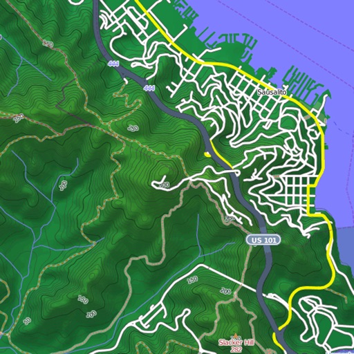
View and download detailed maps with topographical hillshading and contour lines. Store maps for offline use. Navigate using detailed terrain features. Find hiking trails, ski runs, and back streets.
Take to mark locations and back to them. View the location on a map or follow an arrow for directions. Use for hiking, finding parked cars, meeting friends, or exploring routes based on .
Track real-time MTA arrivals and departures at specific stations. View live line statuses and service alerts. Receive notifications for train delays or disruptions. Plan routes using interactive maps and station details.