WayPoint provides real-time updates on the installation and maintenance status of assistive tools for visually-impaired pedestrians. Users can access crowd-sourced maps to navigate safely. Mark locations as installed or needing repair.
by Seungschik Yoo★ 5.02 ratingsNavigationFreeData updated 2026-09-06
Send SMS messages for parking payments in Serbia. Locate parking zones with detailed maps. View payment details and transaction history. Manage multiple parking locations. Receive real-time updates on payment status.
The app displays GPS receiver information, including satellite status, current location, and battery level. It allows users to manage route recording and download stored routes from the receiver.
Measure land , distance, and perimeter using real-time GPS. Mark points on a map to calculate fields, plots, and paths. Switch between and distance modes. Supports units like acres, hectares, and square feet. Save and export data.
Provides maps for navigation without internet connection. Displays detailed vector maps with continuous updates. Allows zooming at any level. Helps avoid roaming charges by using local data.
Provides maps for navigation without internet connection. Displays detailed vector maps with continuous updates. Allows zooming at any level. Helps avoid roaming charges by using local data.
Connect your ride to navigate cities with real-time traffic and air quality data. Find bike parking and choose optimal routes. Monitor speed and ride stats through a dashboard.
Access MTA NYC maps with day and night views. Check real-time status updates and delays. View Twitter feeds for breaking news and service alerts. Navigate stations and plan routes using interactive maps.
"Access maps for global navigation. Zoom and explore detailed vector maps. Avoid roaming charges with local data usage. Find nearby points of interest and locations."
Measure and areas by drawing paths or closing loops. Switch between metric and imperial units. Undo drawings as needed. View standard or satellite maps. Export measurements as KML files for use in Google Earth and other mapping apps.
Check real-time status of boat ramps including open status, parking occupancy, and law enforcement presence. Receive updates from other boaters. Navigate to ramps with available space and current conditions.
View routes for cycling, hiking, and cross-country skiing with difficulty levels and on-map markers. Access points of interest like bars, restaurants, and tourist spots. Receive information about landmarks and facilities along the way.
Navigate using -time data to avoid delays. View live jams, road closures, and incidents. Find the fastest route with quick route calculation. Get updates on weather conditions affecting your journey.
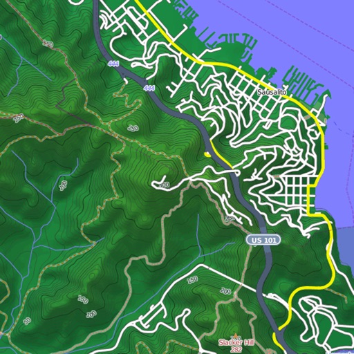
View and download detailed maps with topographical hillshading and contour lines. Store maps for offline use. Navigate using detailed terrain features. Find hiking trails, ski runs, and back streets.
Displays real-time location on a road network with milepoint and route ID updates every second. Shows offline maps using locally stored base maps. Accesses road data without requiring internet connectivity after initial download.
Navigate with detailed interactive maps covering Canada, the USA, the UK, Germany, and Australia. Access aerodrome and airport data, airspace restrictions, and flight planning tools.