Measure distances with a digital measuring tape. Calculate angles using a protractor tool. Adjust and calibrate measurements for precision. Save and share measurement data directly.
by Oanh Thi Duong★ 4.1158 ratingsProductivityFreeData updated 2026-09-06
The app transforms a device into a construction calculator for feet, inches, and fractions. It performs calculations and conversions for various measurement units, including a triangle function for rise, run, diagonal, and pitch.
Measure short lengths with precision using a digital . Switch between inches and centimeters. Calibrate measurements for accuracy. Adjust units and view results on a clean, intuitive interface.
Create and edit 3D models using 25 built-in primitive shapes. Import and export models in various formats. Adjust geometry with precision tools. View models in 3D and 2D perspectives. Add textures and materials for realistic rendering.
The app helps users measure where their time goes to reduce time-wasting tasks. Users can improve habits and see actual results, making timesheets easier and boosting productivity.
Measure areas and distances on maps by placing points and calculating the total or route length. Save and share specific locations as points of interest. Calculate GPS areas with high accuracy.
Allows users to check horizontal and vertical alignment. Features include circle mode for simultaneous angle measurement, vertical mode for ensuring surfaces are straight, horizontal mode for flat surfaces, and mix mode combining all functions.
Calculate fractions and mixed numbers without converting to decimals. Perform addition, subtraction, multiplication, and division. Convert between fractions and decimals. Input measurements for precise calculations.
View and edit DWG, DWF, DXF, and PDF files. Perform precise measurements with 8-digit accuracy. Add annotations and export drawings. Share files and access a large TTF font library. Print drawings directly.
Measure slopes with high precision using accelerometer and gyroscope. Calibrate for accurate readings. Align objects or measure inclines for construction, landscaping, and other applications. Save and share measurements.
Calculate and visualize conduit bends for offsets, rolling offsets, parallel adjustments, and saddles. Specify direction relative to obstructions. Support English and metric units. Display 90° bends and back-to-back configurations.
Measure size using camera with AR technology or place on screen within a designated circle. View diameter and size results. Save measurements for future reference.
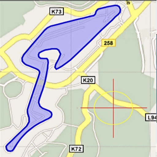
Area, lengths, and angles on maps using an interactive crosshair. Trace outlines to create connected points, updating area and perimeter in real time. Adjust radius for scaling features. View dynamic length and angle as you move the crosshair.