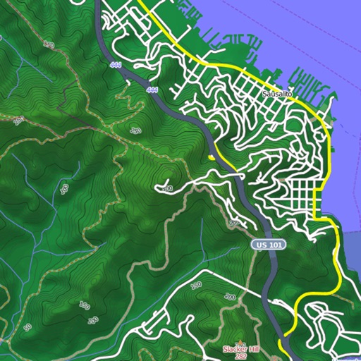
Track location and map terrain with real-time GPS data. Create and save custom routes. Mark waypoints and measure distances. Share maps and routes with others. Sync with devices for offline navigation. View elevation changes and terrain details.
by Ecowave Resources LLC★ 5.02 ratingsNavigationFreeData updated 2026-09-06
Provides interactive maps with lakes, rivers, and zones. Users can track routes using offline GPS navigation. The includes tools for marking locations and planning trips.
Plan using offline and save them to My Map. Pin points of interest with descriptions and photos. Navigate existing or to any location. Record trips and display elevation graphs. Export as .gpx files. Integrate with Garmin. Buy professional .
Plan trips by creating custom routes with points of interest. Search for local attractions like beaches, parks, and historical sites. Save and revisit favorite locations. Share details with others.
Plan routes based on vehicle specifications like height, weight, and axle count. Avoid restricted areas and hazardous materials zones. View real-time traffic and fuel cost estimates. Save and share optimized routes.
Record outdoor activities with topographic maps, waypoints, and elevation tracking. Log mileage, speed, time, and moving averages. Set breaks and receive audio alerts for splits and off-trail notifications. Import GPX files and auto-follow last .
Calculate distances and areas using GPS. route lengths and track movement. Access GPS Camera, Compass, and Speedometer for navigation. View Satellite, Normal, Terrain, and Hybrid maps. Locate nearby points of interest and monitor live positions.
Access vector charts, freshwater maps, and USACE river maps. Create or import routes using GPX/KML. Receive voice prompts for navigation. View tide and current predictions. Rotate charts with text remaining upright.
Lets users measure distances and areas on maps. They can plot radius areas with specified centres and sizes. Share maps as images to show routes, areas, or radii. Adjust colors and export map views.
View and download detailed maps with topographical hillshading and contour lines. Store maps for offline use. Navigate using detailed terrain features. Find hiking trails, ski runs, and back streets.
Track location in real-time with GPS. Record routes and share positions with others. Take photos and send messages during activities. View duration, distance, speed, and altitude data. Allow loved ones to monitor your location for safety.
Track vehicle locations in real time using GPS. View and save travel routes. Receive alerts for speed, location changes, and battery status. Share vehicle location with others. Sync with maps for navigation and route planning.