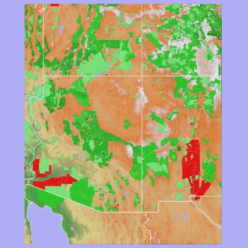
NRDS Mobile Mapping V2 app icon

Apps Like NRDS Mobile Mapping V2 for iPhone and iPad

by Natural Resource Data Solutions Inc.★ 0.00 ratingsNavigationFreeData updated 2026-09-06

Ranked alternatives

Showing 401–420 of 1,000 ranked alternatives.

  1. Topo maps - Sweden app icon

    Topo maps - Sweden

    Shingle Oy

    Save tracks and view topography offline

    Use topographic of for accurate navigation. Save and view tracks with detailed information. Export tracks as GPX files and import place marks. Measure distances on . Access offline without internet connection.

    ★ 5.01 ratingsNavigation$3.99Data updated 2026-09-10
  2. Wanderfreund app icon

    Wanderfreund

    Wanderfreund Trails UG (Haftungsbeschrankt)

    ★ 5.02 ratingsNavigationFreeData updated 2026-09-06
  1. WayPoint. app icon

    WayPoint.

    Seungschik Yoo

    Find assistive tools and track their status

    WayPoint provides real-time updates on the installation and maintenance status of assistive tools for visually-impaired pedestrians. Users can access crowd-sourced maps to navigate safely. Mark locations as installed or needing repair.

    ★ 5.02 ratingsNavigationFreeData updated 2026-09-06
  2. NavLink US app icon

    NavLink US

    Digital Yacht Ltd

    Apple device becomes a chart plotter.

    The app displays real-time GPS position on marine charts derived from NOAA data. It includes features for waypoints, routes, and AIS overlay when connected to a compatible system.

    ★ 3.02 ratingsNavigation$30.99Data updated 2026-10-27
  3. SSN app icon

    SSN

    Roger Pettett

    ★ 0.00 ratingsNavigation$3.99Data updated 2026-09-06
  4. Funpal app icon

    Funpal

    Guangzhou Chicken Run Network Technology Co.,Ltd.

    ★ 1.02 ratingsUtilitiesFreeData updated 2026-09-20
  5. Topo maps - Norway app icon

    Topo maps - Norway

    Shingle Oy

    Detailed topographic map of Norway.

    The app provides detailed topographic maps of Norway for offline use. Users can download map areas, record tracks, plan routes, and measure distances and angles.

    ★ 4.01 ratingsNavigation$3.99Data updated 2026-10-29
  6. Farmdeck app icon

    Farmdeck

    OUTCOMEX PTY LTD

    Monitor crop data and control equipment remotely

    Monitor water and rainfall levels, track livestock and electric fences, and manage vehicle and machinery inventory. View surveillance footage and farm maps. Access analytics for farm data. Control and monitor remote sensors and network devices.

    ★ 5.01 ratingsBusinessFreeData updated 2026-09-25
  7. vivo Gamepad app icon

    vivo Gamepad

    Guangzhou Chicken Run Network Technology Co.,Ltd.

    ★ 3.02 ratingsUtilitiesFreeData updated 2026-09-23
  8. BART app icon

    BART

    EMERG SOLUTIONS PTY LTD

    Connect teams and find information quickly.

    The app facilitates communication and information access for emergency services workers. It provides features like a pager message feed, notifications, and mapping with geolocation for incident routing and resource location.

    ★ 3.02 ratingsUtilitiesFreeData updated 2026-10-07
  9. Scenic Map Grand Canyon app icon

    Scenic Map Grand Canyon

    Mark Granger

    Explore landscapes in three dimensions.

    The app provides 3D topographic maps for iPad and iPhone. Vector map data is contained within the app for offline use, supporting navigation in various environments.

    ★ 5.02 ratingsNavigationFreeData updated 2026-09-13
  10. Lokimaps app icon

    Lokimaps

    Shingle Oy

    Navigate with accurate

    View topographic of with detailed scale options and lake depth information. Access property data via in- purchase. Download for offline use. Navigate using precise map data and location features.

    ★ 4.52 ratingsNavigationFreeData updated 2026-09-08

How we rank alternatives

Apps are ranked by functional similarity, category fit, rating confidence, and popularity.