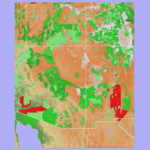
The app provides 3D topographic maps for iPad and iPhone. Vector map data is contained within the app for offline use, supporting navigation in various environments.
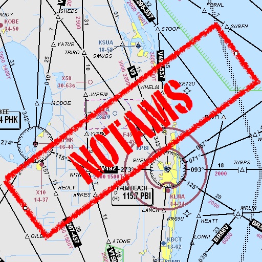
Assists pilots with interpreting NOTAMs, METARs, TAFs, and Area Forecasts. It decodes acronyms and contractions for both inflight and ground use. Users can search for details and weather reports.
Track status with real-time updates on departure and arrival times. Receive for delays or changes. Save trip details and set reminders for pickups or arrivals. Sync with calendar for event coordination.
View satellite maps of Europe with overlaid Flight Information Region boundaries. Tap to identify FIRs and their identifiers. Track real-time GPS location and see current FIR boundaries.