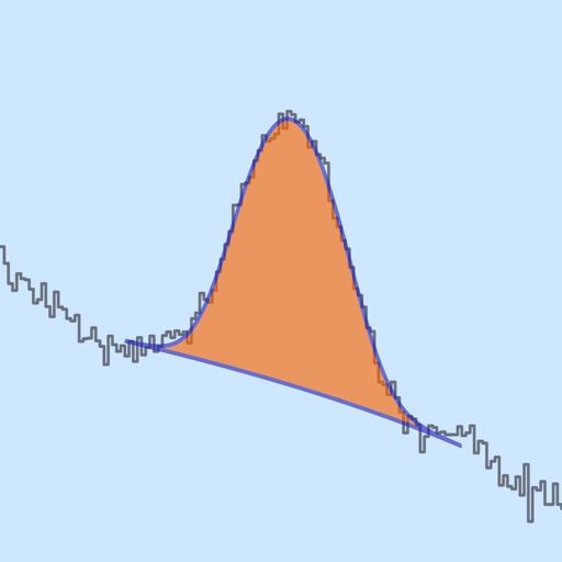
Measure angles on photos or in real time using the camera. Adjust and compare multiple angles simultaneously. Scale, move, and change color of measurement tools for accurate readings. Save and review measurements permanently.
Measure sound levels with real-time precision. Analyze harmonics using multichannel FFT with adjustable parameters. Display graphical representations of audio data. Utilize AI to identify sound sources and analyze environments.
Book workspaces, meeting rooms, parking, lockers, and quiet areas with quick taps. View bookings, floor plans, and modify or cancel reservations. Check in to spaces with a single button press.
Track with high-precision GPS. Record trips and display real-time data on a head-up display. Receive speeding alerts. Navigate with integrated map support. distance, time, and elevation. Share trip data.
View and edit DWG, DWF, DXF, and PDF files. Perform precise measurements with 8-digit accuracy. Add annotations and export drawings. Share files and access a large TTF font library. Print drawings directly.
Convert values between units in 22 categories including acceleration, angle, area, and data storage. Support currency exchange for 160 currencies. Search units by category or globally. Bookmark frequently used conversions.
Measures , areas, and volumes using augmented reality. Users can object heights and save results in the Health . Measurements can be stored as images and viewed in metric or imperial units. Supports 10 languages and pre-defined object measurements.
Track current prices in selected currency and measurement unit. View historical data in graphs for up to 24 months. Show daily changes in value or percentage. Customize theme color for personal preference.
Analyze audio in real time with and FFT measurements. Visualize frequency response and adjust settings for room or speaker tuning. Export measurement data for further analysis.
Displays speed in and distance traveled using GPS. Tracks maximum speed with vibration alerts. Shows position and time of maximum speed on a map. Switches between light and dark modes. Notifies of GPS measurement errors.
Arc+ calculates radius, length, width, height, and tangent by inputting two known values. Converts between measurement units. Saves results to a favorites list and shares them with others.
Displays current position via GPS with a map and sea level measurement in meters. Converts meters to feet using a calculator. Measures barometric pressure with a sensor for altitude tracking. Alerts for potential flooding.
Monitor and analyze data from Bluetooth devices. View real-time measurements, generate reports, and set up custom alerts. Sync devices for centralized data management and interpret results through built-in analysis tools.