The app provides driving feedback to help users improve their driving. It automatically detects trips and uses phone sensors to measure driving dynamics, while employing low-power methods for battery conservation.
by Cambridge Mobile Telematics Inc.★ 3.453 ratingsNavigationFreeData updated 2026-10-15
Navigate National Park with automated audio points providing driving directions, points of interest, and storytelling. Learn time-saving tips for viewpoints and side trips.
Monitor driving habits with real-time feedback and earn rewards for safe driving milestones. CrashAssist detects accidents and provides 24/7 assistance. Track progress and set safety goals. Syncs with vehicle systems for accurate data.
Track cycling speed, distance, and route in real time. Choose from three display modes: digital, analog, or map. View ride history and manage past rides. Automatically stop the timer when movement stops. Swipe to navigate between screens.
The app provides vehicle and riding details for powersports ownership. It offers features for service history, maintenance schedules, ride planning with maps, and community ride tracking.
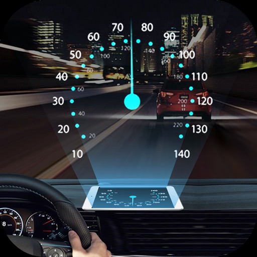
Projects speed, clock, weather temperature, cruise control, and now playing song information onto the windshield when iPhone is rotated and placed near the windshield. Displays data in landscape mode for easier visibility while driving.
Manage routes with electronic manifests, driving directions, and customer notes. Track order verification and communication via SMS, email, or phone. Sync with SPOT Notification Center for real-time updates and messaging.
The app provides a searchable map to locate electric vehicle charging stations and manage charging sessions. Users can view charger status, get directions, and access charging and billing history.
Connect to courier and logistics companies to receive delivery tasks. View and accept dispatches on your device. Provide real-time updates including barcode scans and signature images. Track delivery status and communicate with dispatchers.
Display speed limits and alert for overspeeding. Show speed camera locations and distance. Provide average and maximum speed tracking. Include odometer and unit selection for KMH/MPH. Display current road name, weather conditions, and temperature.
Track speed, distance, altitude, and heading using GPS. View latitude and longitude coordinates. Monitor sunrise and sunset times. Record acceleration data. Save journey logs for later review. Share trip details via email or social media.
Access real-time traffic data for roads, including closures, crashes, and roadwork. Receive audio alerts for traffic events while driving. View roadside camera images and plow tracker updates.
Dispatchers can send trip details to drivers and receive status updates. GPS tracking uploads location data at set intervals. Internal messaging system stores all communications. Driving history and completed trips are recorded and stored.
Manage GPS trackers with real-time tracking and push notifications. Set geofenced areas and no-go zones. Receive alerts for low battery, SOS, and speed limit exceed. View detailed history, reports, and device information.
Track and manage deliveries with real-time package scanning and route optimization. Use smart navigation for turn-by-turn directions and address geocoding.
Track driving behavior to calculate insurance rates. Monitor speed, acceleration, and braking patterns. Update driving score manually. Sync data with insurance provider for rate adjustments. Set driving goals and view performance reports.
Find and book earlier practical driving tests by checking DVSA . Receive push notifications with available dates and times. Book tests manually or let the do it automatically based on your preferences.