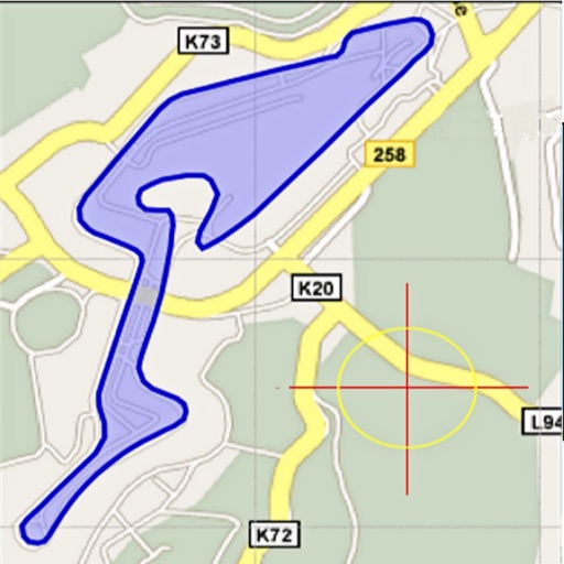
Area, lengths, and angles on maps using an interactive crosshair. Trace outlines to create connected points, updating area and perimeter in real time. Adjust radius for scaling features. View dynamic length and angle as you move the crosshair.
Create cut lists for materials using an advanced algorithm to maximize material usage. Input sheet, board, or linear dimensions. Support decimals, fractions, and blade width. Include grain direction and edge banding options.
Manage with detailed product and asset tracking. Support product variants and custom attributes. View products in grid or list format. Scan barcodes for quick data entry. Sync in real time across devices and warehouses.
Assign QR labels to storage containers and take photos for automatic item recognition. Search across bins using AI tags. Create inventories item names, photos, and custom tags. Sync data across devices for easy access and management.
Edit images with AI-powered tools for color correction, object removal, and style transfer. Generate new images using latest AI models. Save and share edited photos directly.