Visualize smart home devices in your space using AR. Place 3D models of products like panels, doorbell cameras, and spotlights in real-time. Explore device functionality and layout options before purchasing.
Track live positions and vessel details with real-time traffic data. View accurate updates on vessel movements across seas, rivers, and ports. Access detailed information about specific ships and monitor maritime activity.
The app provides information on parks, museums, attractions, and events in San Francisco. It offers offline maps, an augmented reality experience, and tools to plan a trip and explore the city.
Navigate using real-time 3D city views with realistic architecture and dynamic lighting. Explore landmarks and buildings with immersive street-level visualization. Rotate and tilt 3D scenes for better orientation.
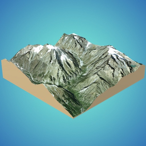
Create 3D models from online sources like Bing Maps or local cloud points. Export data as CSV, TXT, STL, or OBJ. Modify models by cutting, scaling, and animating. Calculate surface areas and volumes in real-world units.
Navigate using risk-aware routing that balances efficiency and safety. Choose routes based on real-time data and historical crime patterns. View customized city maps and adjust preferences for safety or speed.
The app provides mapping visualization and awareness for in-field data collectors. It allows users to collect, share, and access geospatial information in connected or disconnected environments.