
BigMap
Corvin Hartmann
View maps, search locations, customize settings
View maps in three different styles with six customizable settings. Long press to access map options. Search for locations and streets. Navigate with fullscreen map interface.

Showing 101–120 of 1,000 ranked alternatives.
Corvin Hartmann
View maps, search locations, customize settings
View maps in three different styles with six customizable settings. Long press to access map options. Search for locations and streets. Navigate with fullscreen map interface.

OFFLINE MAP TRIP GUIDE LTD
Navigate and find locations
Provides maps for navigation without internet connection. Displays detailed vector maps with continuous updates. Helps avoid roaming charges by using local data. Allows zooming at any level for precise location tracking.


SERGEI BEZDENEZHNYKH
Create and export maps with waypoints
Create and manage travel tracks with waypoints. Import and export maps in .gpx format. Use with unlimited storage. Access background barometer and pedometer data. Display color gradients for speed and height.

Batiste Vonderweidt
Explore 3D offline and navigate mountains
View 3D for hiking, skiing, trekking, paragliding, and mountaineering. Download and use USGS offline for navigation without internet. Track location with GPS. Display topographic data and elevation changes. Share map locations and routes.

3D RealityMaps GmbH
Track routes and explore 3D maps
Plan and track outdoor routes with 3D terrain views. Measure elevation changes and distance. Save and share custom trails. Access real-time GPS navigation and offline maps. Adjust routes based on elevation and difficulty.



Wilson Lei
KML files, add locations, share
KML/KMZ files to view on mobile devices. Add new locations by searching, entering addresses, or long-pressing on the map. Edit and save map data directly on the device. Share via email or cloud services.

Bist LLC
Navigate with voice prompts and chart support
Access vector and raster for . Create or import GPX/KML routes. Use voice prompts for route guidance. View tide and current predictions. Rotate with text remaining upright. Supports chart course orientation.

Flytomap
Navigate with marine and outdoor
Navigate with marine and outdoor offline. Overlay satellite and terrain data on charts. Access local weather forecasts. View worldwide and satellite imagery when connected. Use NOAA raster data for detailed navigation.

Shingle Oy
Navigate with accurate
View topographic of with detailed scale options and lake depth information. Access property data via in- purchase. Download for offline use. Navigate using precise map data and location features.

Rachid Smet
Navigate and explore remote areas
Navigate off-road trails and remote areas with maps and turn-by-turn directions. Mark waypoints, track routes, and view elevation data. Access terrain details and compass navigation without internet connectivity.

LowSphere
Download maps, save routes, navigate
Download and save map tiles for use. Navigate routes without an internet connection. Manage saved maps and routes. Perform fast map searches and navigation. View banner and full-screen ads when saving maps.

Syzygy Research & Technology Ltd.
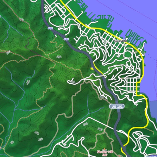
View maps, download trails, store routes
View and download detailed maps with topographical hillshading and contour lines. Store maps for offline use. Navigate using detailed terrain features. Find hiking trails, ski runs, and back streets.




Pavel Vorontsov
Navigate with GPS and saved points
Navigate using a GPS to any saved location. Save current position, input coordinates manually, or extract GPS from photos. View saved points history and export coordinates to Google or Apple Maps.
Apps are ranked by functional similarity, category fit, rating confidence, and popularity.