Study for NREMT EMR, EMT, AEMT, and Paramedic exams with practice questions, detailed explanations, and multiple modes. Track progress with progress reports and review weak areas. Access updated content aligned with current NREMT standards.
Identify landmarks, cities, natural sites, and UNESCO World Heritage sites from satellite views. Choose from 190 landmarks, 168 cities, 109 natural sites, and 651 UNESCO sites across 10 countries. Zoom in and out to examine details.
The app displays a satellite map of dropzones. It shows current windaloft and surface winds, a range of the user's parachute, and a safe jump run exit area.
Emergency alerts for organizations and businesses.
The app allows users to communicate emergency information, including GPS coordinates, text, audio, and photos. Administrators can initiate lockdowns and survey user emergency status.
Plan and manage satellite by analyzing economic, technical, and social factors. Simulate mission scenarios, optimize system performance, and evaluate launch strategies for different orbit altitudes.
Track environmental observations like cloud cover, land cover, and mosquito habitats. Submit data for scientific research. Access educational resources and learn about Earth systems. Share observations with the global community.
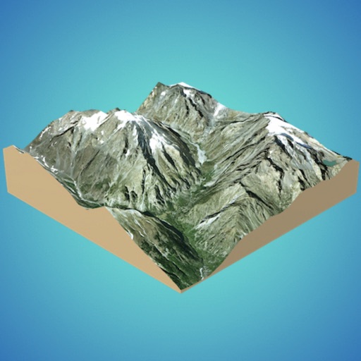
Create 3D models from online sources like Bing Maps or local cloud points. Export data as CSV, TXT, STL, or OBJ. Modify models by cutting, scaling, and animating. Calculate surface areas and volumes in real-world units.
Track earthquakes and alerts with real-time data updates. View global locations on an interactive map with zoom and satellite views. Analyze activity trends, depth, magnitude, and disaster impact through an advanced dashboard.
Outdoor spaces with AI-powered drag-and-drop tools and birds-eye view. Access a 10,000+ plant library and track growth with care tips. Share ideas and find plant deals through an integrated marketplace.