Track shots and environmental conditions including wind speed, elevation, temperature, humidity, and ground conditions. Receive precision club recommendations based on shot shape and environmental data.
View real-time run status and trail maps to locate yourself on the mountain. Share location with friends and track their positions. Record runs, log vertical feet and distance, and sync with Apple Health for workout data.
Track performance in sailing, kitesurfing, windsurfing, snowkiting, and landkiting. Record jump height using iPhone or Apple Watch with drone-inspired algorithms. Organize races for championships or training.
Track cycling performance with real-time data including speed, distance, elevation, and calories. Record and playback routes. Customize settings and share ride details with others.
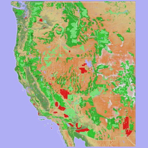
Navigate using a 3D topographic map of the USA and Hawaii. Access offline vector maps for navigation in vehicles or outdoors. Switch to online maps for global coverage with automatic caching. Explore locations with zoom and scroll features.
The app provides detailed maps for outdoor activities and work, including terrain, waterways, and property data. It offers features like offline maps, nautical charts, and GPS positioning for navigation.