Navigate using real-time traffic data and turn-by-turn directions. Search for locations and points of interest. Share current location with others. Save favorite destinations. Use offline maps for areas with limited connectivity.
by MTED TRANSPORT INC★ 5.02 ratingsNavigationFreeData updated 2026-09-06
Find cell service coverage areas using real-time crowd-sourced data. View signal strength maps and compare carrier performance. Search for optimal locations to make calls or stay connected. Share coverage insights with others.
Find nearby TheBus stops on Oahu with real-time bus arrival times. Navigate using location services or map input. View route maps and save favorite stops. In- purchase removes ads.
Provides maps for navigation without internet or roaming costs. Zoom on detailed vector maps with continuous updates. Locate points of interest and plan routes. Save data usage by avoiding mobile networks.
Track vehicle locations in real time using GPS. Monitor route efficiency and optimize delivery paths. Communicate with drivers and manage dispatch operations. View vehicle performance data and improve fleet management.
The app helps users navigate Kyoto City Bus and Kyoto Bus routes. It displays bus stop locations on a map, searchable by the user's current location or by major shrines and temples.
Track real-time locations of MeshTag devices using the . Set geofences and receive alerts when locations change. Share location data with trusted contacts in a MeshCircle. View activity logs and manage device settings.
Plan outdoor trips with offline maps for navigation in remote areas. Discover activities, dining, lodging, and attractions on a single map. Access essential tourist information and local points of interest.
View topographic maps of New Zealand's offline. Locate current position via GPS. Search for place names. Includes all map data from LINZ 1:50000 scale Topo50 series.
Navigate routes by selecting pre-approved paths and bus stops. View real-time schedules and track vehicle locations. Receive notifications for arrival times and service updates.
Navigate public transport with real-time route planning and station navigation. View detailed line maps and station indexes. Access offline data and GPS-based station location. Find transfer points and track transit options.
Plan routes and navigate using real-time traffic data. Find and pay for along the way. Track battery level and estimate remaining range. Receive notifications about nearby services and weather conditions.
Stay updated on upcoming and view items of interest. Receive notifications for outbids. Place bids remotely or set maximum bids for automatic bidding. Track auction participation and item details in real time.
Calculate distances and areas using GPS. route lengths and track movement. Access GPS Camera, Compass, and Speedometer for navigation. View Satellite, Normal, Terrain, and Hybrid maps. Locate nearby points of interest and monitor live positions.
Find stops using current location or route selection. Save favorites to the cloud. View arrival times, bus locations, and future schedules. Track buses to estimate arrival times at destinations.
Explore self-guided walking tours with detailed city maps. Navigate to attractions and hidden spots. View step-by-step directions and track progress. Save favorite locations and share routes.
Chongqing Pengri Science and Technology Development Co.,Ltd.
Navigate with HUD guidance via Bluetooth
Connect to a HUD module via Bluetooth to display navigation instructions and turn signals. Use GPS for real-time navigation. Keep GPS active for accurate directions. Battery life decreases with continuous GPS use.
Track sun and positions in real time using location data. View detailed information about phases, angles, and visibility. Set location manually or automatically. Save observations and share data.
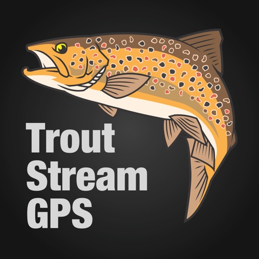
The app displays detailed maps of trout streams across the United States, showing access points and fishing locations. It uses the device's GPS to provide real-time navigation and generate driving directions to selected waypoints.
Explore self-guided walking tours of the with detailed maps and curated routes. Navigate through attractions and hidden spots. Locate points of interest and track your progress on an interactive map.