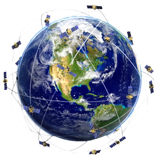
Track aircraft positions in real-time using ADS-B data. View live paths, altitudes, and speeds. Search for specific planes by identifier. Receive alerts for nearby flights and airspace changes.
Plan routes and save them for future use. Create and manage tracks with waypoints. Share routes with friends. Download maps for navigation. Mark locations and export tracks in GPX format. No ads and no time limits for use.
Calculates sun and positions with 0.3% accuracy. Determines sunrise and sunset times. Provides moonrise and moonset times. Adjusts for elevation and time zone.
Get accurate GPS and latitude longitude instantly. Display in multiple formats including DMS, UTM, and MGRS. Convert between coordinate systems. Share precise location data directly.
View lunar phases and eclipse details with start and end times, maximum magnitude, and visibility. Use calendar, compass, map, and AR camera views to track the path and timing. Plan outdoor activities based on optimal light conditions.
Manage GPS locations by creating, saving, and navigating to specific points. Edit or remove metadata from photos. Track orientation and protect privacy. Save favorite spots and move between locations seamlessly.
Track , distance, and performance with real-time GPS data. Display in mph and km. Log trips and view historical records. Set alerts and monitor journey details. Sync data across devices for ongoing performance analysis.
And satellite maps to identify locations and surrounding buildings worldwide. Check traffic conditions and updated maps. Find destinations and nearby points of interest. Navigate to locations with accurate directions.
Display your current GPS location on a map instantly. Manually search for places, cities, or states. View and share exact coordinates via copy/paste or direct sharing.
Create and manage travel tracks with waypoints. Import and export maps in .gpx format. Use with unlimited storage. Access background barometer and pedometer data. Display color gradients for speed and height.
Displays wind rose and location details including name, latitude, longitude, and altitude in meters or feet. Saves position data for any global location. Requires location services to detect geographical position.