Track driving costs in real-time by entering fuel price and efficiency. Split trip expenses with passengers. Record trips for review or sharing. Monitor speed with visual and sound alerts when exceeding preset limits.
Track mountain bike rides with GPS to record speed, distance, elevation, and analytics. View trail details, difficulty ratings, and save routes. Share rides, on segments, and earn achievement badges.
Track vehicle hours and monitor driver compliance with real-time GPS data. Receive alerts for potential violations. Calculate IFTA miles automatically. Log and review driving records. Sync with fleet management systems.
Navigation allows users to view and download marine charts automatically from NOAA and US Army Corps of Engineers. Create waypoints, routes, and tracks. Use night color modes and anchor alarm. Access weather data and chart measuring tools.
Track riding activities and view performance metrics. Personalise riding modes and customise display settings. Plan routes and use smart navigation. Enable theft protection and receive automatic updates.
Track ships in real-time with vessel details, routes, and estimated arrival times. View port arrivals and departures. Plan coastal trips using maritime data. Receive updates on new ships entering ports.
Navigate trails and routes for hiking, biking, and running. Access detailed maps of national parks and coastal paths. Find local neighborhoods and new trails. Plan routes with turn-by-turn directions. View elevation profiles and track progress.
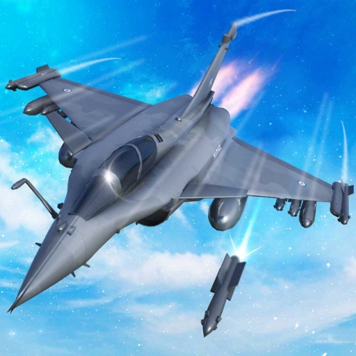
Train pilots for air combat missions. Customize jets with upgrades. Manage squad formations and tactics. Execute airstrikes on enemy positions. Track progress through mission-based challenges. Unlock new aircraft and weapons.
Receive and transmit real-time AIS data to track nearby vessels and avoid collisions. Share your position with others. Get collision warnings based on real-time ship movements.
Track , distance, and performance with real-time GPS data. Display in mph and km. Log trips and view historical records. Set alerts and monitor journey details. Sync data across devices for ongoing performance analysis.
Track asset locations in real time and view historical data. Modify asset details and access GPS tracking accounts. Monitor movement patterns and manage device settings remotely.
Locate vehicles using GPS tracking. Receive alerts about vehicle health and location. Monitor 24/7 for theft protection. Control device settings remotely. View trip history and fuel efficiency data. Share vehicle status with authorized users.
Track speed in MPH and KMH with GPS. Monitor trip distance and travel time in real-time. View data on a high-contrast display suitable for day and night use. Includes a low-light mode for improved visibility during nighttime driving.
Track vehicle locations using GPS. View past location history on maps. Search by vehicle make, model, stock number, or VIN. Save individual vehicle details for easy access.
Your Nyon or Kiox via Bluetooth to plan routes, use navigation on the display, track activities, and enable theft protection with Lock. Syncs with systems for route planning and activity monitoring.
Navigate using real-time GPS and map data. Mark and save locations. Track movement and speed. Share coordinates with others. Use offline maps for areas with limited connectivity. Set waypoints and receive turn-by-turn directions.