Access tide charts and forecasts for any global location without an internet connection. View high and low tide times, extreme , and monthly tide heights. Includes solunar fishing activity and weather forecasts for dates between 1980 and 2099.
by Simon McAuliffe★ 4.02 ratingsReferenceFreeData updated 2026-09-06
Access real-time weather data for flights. Create or modify flight routes. Retrieve preflight and inflight weather briefings. View enroute conditions. Share weather information with pilots. Sync with iPad for aviation-specific weather updates.
Choose a starting location and set a travel radius to find outdoor destinations. Filter by activity type and conditions. View details about each location and plan your trip based on real-time data and points of interest.
The app provides real-time arrival predictions for Twin Cities transit, including buses and light rail. Users can find nearby stops, view next arrivals, and save selected stops for quick access.
Convert currencies and with real-time exchange rates and 150+ support. Perform offline conversions and compare multiple currencies. Use ML-powered forecasts to view tomorrow's trends and analyze historical data.
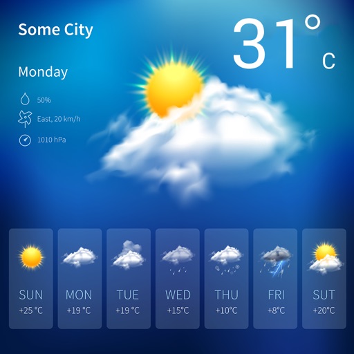
View 10-day and hourly forecasts. Track high and low temperature times, feels like temperature, wind speed and direction, precipitation, cloud cover, and humidity. Compare current high/low with historical data.
Navigate using detailed topographic and over 900,000 searchable points of interest across Canada. Plan routes, view terrain features, and access trail information. Mark locations, save waypoints, and track progress. Share and coordinates with others.
Navigate using offline GPS charts and plot routes. View real-time position, speed, and depth. Mark waypoints and track progress. Share maps and charts securely. Set alarms for tides and weather. Sync with external devices for accurate .