

Apps Like Bubatzkarte for iPhone and iPad
Bubatzkarte screenshots
Ranked alternatives
Showing 281–300 of 1,000 ranked alternatives.

VicEmergency
State of Victoria - Department of Justice
Official Victorian emergency warnings and information.
The app provides live incident maps and official warnings from Victoria's emergency services. Users can create profiles and watch zones to receive alerts for areas of interest, with GPS integration to show current location and surrounding incidents.


World Map Pro
Myrtha Murat-Vernous
Browse maps, search addresses, add locations
View the map and zoom in or out. Search for addresses and add locations to contacts. Find directions and view nearby businesses. Switch between street, satellite, and hybrid views.


高速公路1968
Taiwan Area National Freeway Bureau
Highway traffic information integrated service
The app provides integrated highway traffic information. It offers a real-time map of the national highway network, including traffic conditions, incidents, and weather.

MiCycle Pro
OXiGENATOR LLC
Track routes on bike or trainer
Track cycling routes with GPS/GLONASS for location, speed, and elevation. Monitor power via Bluetooth or ANT+ sensors. Record cadence and compensate for single-side power meters. Save and review ride data. Sync with Apple Health.

Ultramagic FlightPack
Ultramagic, S.A.
Track flights with offline maps and weather
GPS track with color-coded altitude layers to identify wind patterns. Crew members view real-time flight tracking on a webpage. Includes offline maps, weather forecasts, load calculations, and a flight logbook.


NaviGuard
Aircraft Performance Group, LLC
Track flight paths and monitor navigation accuracy
Monitor flight paths and avoid GPS-denied areas. Set waypoints and track altitude. Receive real-time alerts for navigation anomalies. Sync with flight planning software for accurate route adjustments.


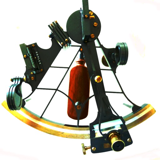
Sight Calc
NUVOCOM INCORPORATED
Calculate LHA and declination for reductions
Calculate celestial navigation using the Law of Cosines method. Input Local Hour Angle, declination, and latitude to determine altitude and azimuth. Track calculations and review results for accuracy.

Transit Stats - CTA Analytics
Charles Bennett Honig
Track rides, , and city rankings
Track CTA rides with real-time GPS and generate detailed on distance, spending, and CO₂ impact. Compete on city-wide leaderboards, unlock milestones, and view complete ride history and coverage maps.

Sun n Moon for iPad
David Gibson
Sun and moon times anywhere.
The app calculates sunrise, sunset, moonrise, and moonset times for any location. It includes a moonphase calendar, animation, and a compass showing sun and moon positions.

SPRO
BARCELONA DE SERVEIS MUNICIPALS, S.A.
Park and pay for DUM and Zona
Manage parking for professional vehicles in Barcelona and its metropolitan area. Locate and reserve DUM and Zona Bus parking spots. Pay for parking via the . Receive real-time updates on parking availability and session duration.


How we rank alternatives
Apps are ranked by functional similarity, category fit, rating confidence, and popularity.