Measure land , distance, and perimeter using GPS. Create projects, add team members, and sync measurements in real time. Set permissions for different roles and collaborate on shared projects. Export data and view detailed reports.
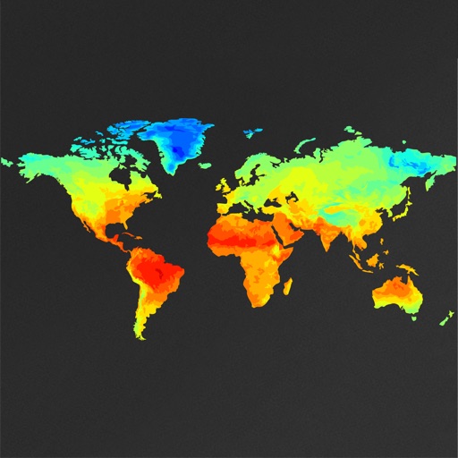
View global weather data with interactive map panning and zooming. Switch between weather layers for current and forecasted conditions. Track detailed weather changes up to 0.25 degrees on land or sea.
Measure geographical orientation with a precise . Display longitude, latitude, altitude, weather, and magnetic field data. Record location points and view saved travel history.
Track routes with detailed notes and environmental
Track routes with distance, terrain, and difficulty metrics. Record observations with environmental data, photos, and custom tags. Organize locations, field notes, and travel journals. Filter and search collections for quick access to field data.
Collect and map field data with customizable forms and attributes. Capture data offline or online. Transfer data to desktop GIS platforms. Edit and manage attributes directly in the field. Sync data with preferred GIS software.
Navigation allows users to view property line , parcels, and public lands. Access land ownership details and map layers for 50+ states including hunting zones and restricted areas.
View from geocaching.com, geocaching.su, and other supported sites. Access cached locations offline with local storage. Load data asynchronously for continued map use. Non-premium users have daily download limits on full geocache info.
Monitor boat location with real-time alerts when it moves outside a set radius. Adjust and recalculate the monitored area precisely. View location history as a series of points. Connect two devices for remote monitoring.
Manage by searching and booking hotels. Find and map CLC Network hotels using GPS. Access 24/7 traveler support and safety features. Control costs and simplify management through pre-negotiated discounts.