Save and share precise GPS globally. Create and manage location pins with detailed descriptions. Receive real-time updates on shared locations. Set custom visibility settings for location sharing. Sync locations across devices for easy access.
Track events with date-time, name, place, notes, handicap, and tags. Log scores, pin states, and ball details per frame. Analyze performance with trend and distribution graphs.
GPS tracks current speed, distance, and altitude. Displays average and maximum speed. Shows speed limits in real time. Supports mph, km/h, and knots. Measures travel time and battery level. Works offline.
Plan and track motorbike routes with customizable options for paved and unpaved paths. Share adventures and access 200,000 public routes. Log ride details and view maps with turn-by-turn .
The app measures distances, perimeters, and areas with precision over satellite images. It calculates surface areas, dimensions for fencing, and more without needing to be on location.
And organize links with secure storage and easy access. Create personalized collections to categorize and retrieve videos quickly. View and manage saved content anytime without external tools.
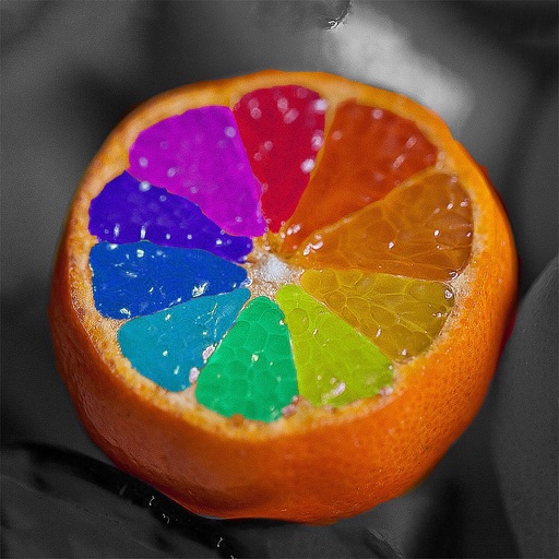
Edit photos by recoloring specific areas using finger painting or selection tools. Change colors of objects, clothing, or eyes. Convert photos to black and white with retention. Share edited images directly to Instagram.
Track prayer times and Qibla direction based on GPS location. Set notifications for prayer times. View accurate prayer schedules and Qibla compass for navigation.
The app measures the elevation of locations within a 500-meter radius using device sensors and internet-based geo information. It calculates altitudes in real time and displays them in meter or feet.
Create logos by choosing from thousands of templates. Recolor and customize designs. Combine multiple logos. Select from nine categories including iconic, modern, watercolor, and letter styles.
The app plots areas on a map by adding landmark points or dropping pins. It calculates enclosed area and distances between points, with options to add interest points and photos.
Navigation provides GPS tracking, map navigation, and route planning. Includes tools, field manuals, and live conflict updates. Users can access guides, track locations, and receive real-time news.
Navigate using a GPS to any saved location. Save current position, input coordinates manually, or extract GPS from photos. View saved points history and export coordinates to Google or Apple Maps.