

Apps Like DroneTower for iPhone and iPad
DroneTower screenshots
Ranked alternatives
Showing 241–260 of 1,000 ranked alternatives.


GPS Area Measure: GLandGo
4Digsoft Technology Limited
Measure land and distance
Measure land , distance, and perimeter using GPS. Create projects, add team members, and sync measurements in real time. Set permissions for different roles and collaborate on shared projects. Export data and view detailed reports.


notams.aero
Ufuk Ugur
See NOTAMs on a map.
The app displays NOTAMs on a map with categorized colors and symbols indicating their subject. It also provides airport meteorological information and details for various aeronautical points across numerous countries.

TBM Report
John Benediktsson
Upload flight data and generate reports
Pilots can upload Garmin avionics data files to generate TBM Reports. Select SD card location to view log files. Choose recent flights or specify a time frame for upload. Generate detailed approach analysis reports.



Radius on Map : draw circle
Kevin Willett
Create and share map URLs via email
Create and manage map radiuses with customizable center coordinates, , and color settings. Share URLs via email or text to display radiuses in any browser. Include names, notes, and choose from multiple coordinate and distance formats.


Tactical Navigator
Orange Clover LLC
Navigation for outdoor enthusiasts and military.
The app provides navigation tools for communications, operations, and outdoor planning. It includes a compass, multiple coordinate systems, weather conditions, and route calculation features.
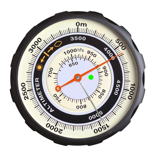
altimeter professional
FFZ srl
Track altitude and record position data
Displays altitude using a digital readout and an analog gauge. Tracks maximum height reached during use. Shows altitude accuracy and sensor quality. Utilizes GPS and barometric sensor for precise measurements.



How we rank alternatives
Apps are ranked by functional similarity, category fit, rating confidence, and popularity.