Find and share locations with a map interface. Pin locations to view coordinates or addresses. Select transportation options to share real-time location updates. Quickly check current location or specific destinations with minimal clicks.
by Jeonghwan Kim★ 4.33,897 ratingsNavigationFreeData updated 2026-09-08
The app displays earthquake fault locations in California based on current or specified locations. It shows the closest faults, allows zooming, and displays distances to them, including faults in the Bay Area and southern California.
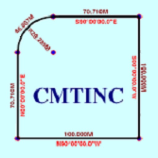
The app converts real property descriptions into boundary maps. Users enter angles and distances to draw property boundaries, displaying closure error, total area, and perimeter.
View GPS tracking units from on your iPhone. Display unit list with current location and status. Tap a unit to see its location on a map. Access real-time tracking without logging into the website.
The app allows users to precisely digitize points, lines, and areas over a map and save them as features. Users can view position, length, or area values for saved features and measure distances and areas without saving shapes.
The app displays the real-time GPS location of Toronto TTC buses and their arrival times. A map shows bus stops and current bus locations, aiding trip planning and scheduling.