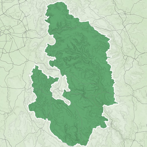
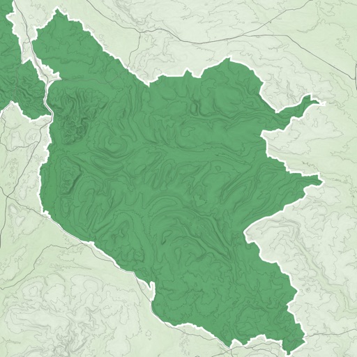
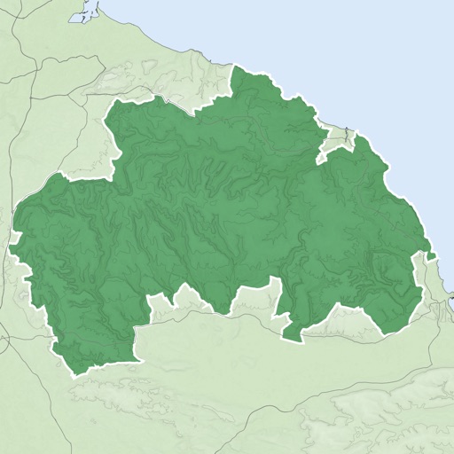
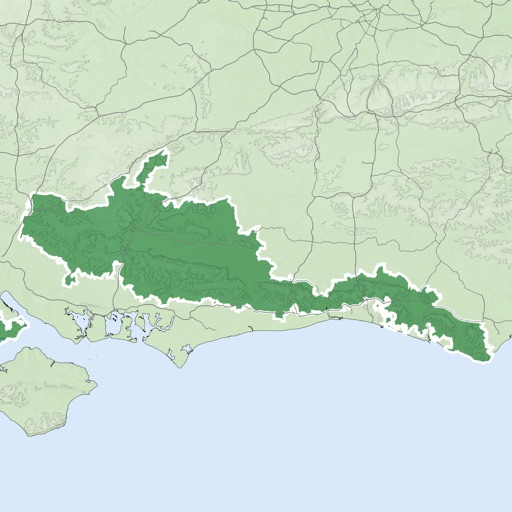
Track location and navigate using GPS. View real-time map movements. Share location with other hunters. Manage hunting areas and group activities. Access downloadable USGS topographical charts. Set and follow navigation points.
Tracks location using GPS and compass for navigation. Logs entry into the forest and records path without internet or cellular signal. Provides directions to return to starting point. Displays map and compass directions. Allows manual route marking.
The app provides digital maps of Austria with hill shading and object names. It includes topographic maps and offers functions like searching by name or coordinates, GPS features, and measuring distances.
Navigate using precise latitude and longitude coordinates. View real-time sunset and sunrise times. Use integrated flashlight to illuminate paths. Track location for outdoor activities.
Save and organize locations with titles, notes, photos, and voice memos. Create folders to group locations. Share across major map apps. Track and manage work sites, travel stops, or personal places. Set private access and view details.
CEBINDEKI PAZAR E-TICARET ALISVERIS HIZMETLERI SANAYI VE TICARET LIMITED SIRKETI
Speed in mph, km/h, and knots
Display current speed in mph, km/h, or knots with large fonts. Show traveled distance and optional average/max speed. Include city name and compass. Use GPS for accurate speed tracking. Switch between base maps for driving visibility.