MyFieldTracker app icon

Apps Like MyFieldTracker for iPhone and iPad

Track areas with ArcGIS maps and GPS

Allows users to define harvesting areas and stream boundaries using ArcGIS map data. It supports iPad with GPS boosters for location tracking. Users can manage map layers and attributes for forestry planning.

by MyShoppingHelper, LLC.★ 5.06 ratingsProductivityFreeData updated 2026-09-06

MyFieldTracker screenshots

Ranked alternatives

Showing 341–360 of 1,000 ranked alternatives.

  1. Pro Map Tools app icon

    Pro Map Tools

    GV Software Solutions Limited

    Measure distances, share maps as images

    Lets users measure distances and areas on maps. They can plot radius areas with specified centres and sizes. Share maps as images to show routes, areas, or radii. Adjust colors and export map views.

    ★ 4.09 ratingsUtilities$2.99Data updated 2026-09-10
  1. PRO HUNT™ app icon

    PRO HUNT™

    MiraTrex, Inc

    Navigate with real-time GPS tracking

    Track location and navigate using GPS. View real-time map movements. Share location with other hunters. Manage hunting areas and group activities. Access downloadable USGS topographical charts. Set and follow navigation points.

    ★ 4.589 ratingsNavigationFreeData updated 2026-09-10
  2. UR Network Tool app icon

    UR Network Tool

    朝旭 张

    Generate CSV, YAML, and more from numbers

    Generate CSV files with customizable string lengths and element levels. Create encoded data using numeric values. View character encoding tables. Export results in plain text format.

    ★ 5.010 ratingsProductivityFreeData updated 2026-09-06
  3. Spray Nozzle calculator app icon

    Spray Nozzle calculator

    CCIC Pty Ltd

    Calculate hay preservative spray nozzle settings.

    The app calculates the correct nozzle color and pressure for applying liquid preservative to hay. It uses operating conditions, dose rate, moisture, and tons per hour to determine the nozzle size and pressure.

    ★ 5.01 ratingsUtilitiesFreeData updated 2026-09-14
  4. KOMPASS Outdoor & Hiking Maps app icon

    KOMPASS Outdoor & Hiking Maps

    Kompass Karten GmbH

    Navigate trails with professional outdoor maps.

    The app provides professional maps for outdoor activities like hiking and cycling. It offers offline map storage, GPS tracking, and access to certified tours with detailed descriptions for planning adventures.

    ★ 3.927 ratingsNavigationFreeData updated 2026-09-22
  5. MajillanoGPS Pro app icon

    MajillanoGPS Pro

    Al-rahaal Explorer For General Trading, Training And Development Company

    ★ 5.01 ratingsBusinessFreeData updated 2026-09-06
  6. Loko app icon

    Loko

    noliLab OU

    ★ 0.00 ratingsNavigationFreeData updated 2026-09-06
  7. Deed Calls - Area - Perimeter app icon

    Deed Calls - Area - Perimeter

    Corvallis Microtechnology, Inc.

    Convert property descriptions into maps.

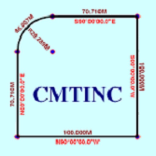
    The app converts real property descriptions into boundary maps. Users enter angles and distances to draw property boundaries, displaying closure error, total area, and perimeter.

    ★ 1.01 ratingsProductivity$14.99Data updated 2026-09-30
  8. Screen Time Control - AppBlock app icon

    Screen Time Control - AppBlock

    Samantha Estrada

    Set focus with limits

    Set daily limits for apps and websites. Block distracting content during focused work periods. Track usage patterns and receive notifications when limits are approached.

    ★ 1.01 ratingsProductivityFreeData updated 2026-09-06
  9. Geolokator app icon

    Geolokator

    GLOBAL 7 - IMPORTACAO E EXPORTACAO, LDA

    ★ 0.00 ratingsNavigationFreeData updated 2026-09-13

How we rank alternatives

Apps are ranked by functional similarity, category fit, rating confidence, and popularity.