Allows users to define harvesting areas and stream boundaries using ArcGIS map data. It supports iPad with GPS boosters for location tracking. Users can manage map layers and attributes for forestry planning.
by MyShoppingHelper, LLC.★ 5.06 ratingsProductivityFreeData updated 2026-09-06
Manage short-term rental turnovers by finding and scheduling local cleaners through a secure marketplace. Sync existing cleaners with a calendar. Import guest calendars from Vrbo, Booking.com, Airbnb, and other booking platforms.
Displays current location using GPS on a high-resolution topo map. Includes an index to over 1,000 locations in Utah’s Central mountains. Allows users to navigate trails, view elevation data, and access detailed route information.
Receive instant alerts when drag occurs or GPS signal weakens. Manually adjust position on the map or input coordinates from another device. Set alarms if forgotten after dropping .
View detailed maps of Norway with accurate trails, sea routes, and city navigation. Search locations and addresses. Use GPS for auto-rotating maps and compass. Download maps for offline use. No advertisements.
Create and spaces with 3D rendering and augmented reality. Add furniture and decor to visualize gardens, play areas, or event spaces. Share designs with a community. Collaborate on multi-level projects.
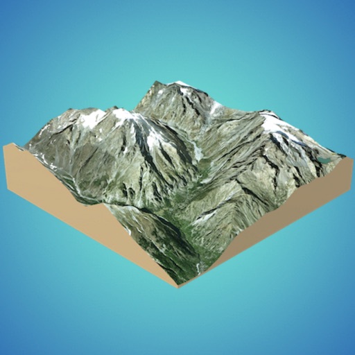
Create 3D models from online sources like Bing Maps or local cloud points. Export data as CSV, TXT, STL, or OBJ. Modify models by cutting, scaling, and animating. Calculate surface areas and volumes in real-world units.
Access real-time bus schedules and locations for River Valley Transit. Plan trips with interactive maps and route information. View service areas including Williamsport, Muncy, and nearby towns. Receive updates on delays and vehicle positions.
Charge electric vehicles at stations in Portugal, France, and Spain. View real-time power levels, plug types, and venue details. Track expenses before, during, and after charging. Locate and select charging stations with interactive maps.
Land, fields, and property using GPS or manual input. Place markers on the map or walk boundaries to calculate , distance, and perimeter. Choose units like square meters or square feet. Save and share measurements.
Display custom location data such as POI, parcels, and GIS layers on Bing Maps or OpenStreetMap. Upload and manage aerial imagery. Deploy to the cloud for scalable and secure data hosting.