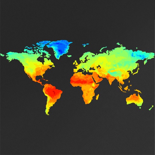
View real-time images and current conditions. Track movement, fronts, and storms with zoomable . Forecast for any location worldwide. Display emerging patterns and real-time updates.
View live radar maps to track precipitation and storm movement. Monitor storm details including intensity and direction. Access accurate forecasts for hourly and daily . Set alerts for severe conditions. Track hurricane progress and receive updates.
View real-time weather data from local stations. Check current conditions, precipitation levels, wind speeds, and soil temperatures. Access historical data and compare measurements across different locations.
Track hurricanes, cyclones, and tropical storms with interactive maps and real-time updates. View NOAA forecasts and satellite imagery. Search historical storms from 1851 or 1949. Receive push notifications for weather warnings.
The app provides real-time river data including height, discharge, and temperature from USGS gauges nationwide. Users can view historical trends, save selected locations, and monitor flood-stage information for recreation and property awareness.
View global weather data with interactive map panning and zooming. Switch between weather layers for current and forecasted conditions. Track detailed weather changes up to 0.25 degrees on land or sea.
Get detailed forecasts including wind, pressure, and precipitation chance. View animated modules for sunrise, sunset, wind, and pressure. Explore interactive maps with radar, satellite, heat, and wind data. Track favorite cities and destinations.
View real-time maps with high-resolution layers. Track tropical cyclones, storm cells, and lightning strikes. Access up to 12 hours of data. Plan activities based on accurate predictions.
Watch live videos and read breaking stories from Northern California. Check real-time weather and traffic updates. Get state capital and local alerts. Stay informed with on-demand content and push notifications.
The app delivers local news, weather forecasts, traffic updates, and sports coverage for the California Coastal region. It serves Santa Barbara, San Luis Obispo, and parts of Western Ventura Counties.
View current weather and forecasts for multiple locations. Set custom for temperature, precipitation, and severe weather. Choose from five distinct personality modes to personalize the experience. Track hourly and daily forecasts.
View live weather radar and satellite imagery. Track precipitation types and lightning. Access high-resolution forecasts using advanced models. Set location-based alerts. Share weather data with others.
Track live activity and view real-time weather updates with radar. Receive warnings and follow development paths for current and upcoming events. Monitor severe weather patterns including hurricanes, tornadoes, and typhoons.
View real-time animated images with color-coded precipitation. Check future forecasts and detailed data through interactive map layers. Access fire and air quality indexes. Identify freezing rain for road hazard warnings.
Track wind conditions with detailed forecasts, maps, and compass readings. Monitor wind speed, direction, and gusts. Receive push notifications for wind alerts and storm warnings.
View current and 3-hourly forecasts with humidity, precipitation, pressure, wind details, and visibility. Access weekly weather widgets. Change video backgrounds based on local weather. Customize forecast layout and use an animated flip clock.