Explore with augmented reality overlays, access offline maps, and get detailed public transportation guides for Metrorail and Metromover. Find attractions like Little Havana and Vizcaya Museum and Gardens with location-based recommendations.
Find routes and compare trip times and costs for Metro Manila. Get step-by-step using crowd-sourced data. Choose from jeepneys, buses, trains, and ferries. Track real-time updates and follow @sakayph for alerts.
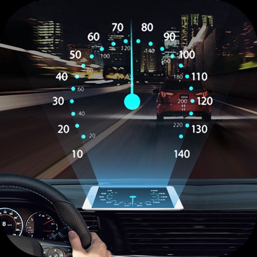
Projects speed, clock, weather temperature, cruise control, and now playing song information onto the windshield when iPhone is rotated and placed near the windshield. Displays data in landscape mode for easier visibility while driving.
Plan your route by selecting start and end points on a map. View estimated travel times and transit options. Receive real-time updates on bus and train schedules. Track vehicle locations and get notifications about delays or route changes.
Use voice commands to interact and perform tasks. Generate text for emails, resumes, and presentations. Create content, analyze data, and assist with daily productivity. Learn new skills through interactive prompts.
Track real-time availability in lots and city streets. Locate open spaces with a bird’s-eye view. Navigate structures and find spots without circling aimlessly. Save time by avoiding empty spaces and reducing frustration.
Find and scan a Sky to start a ride. Unlock and ride to your destination. End the ride and lock the . View ride history and manage account settings. Track location and receive notifications.
Real-time maps and GPS locations. Access satellite imagery and 360-degree views for global exploration. Navigate streets with turn-by-turn directions. Track current location and update maps in real time.
Navigate with route suggestions and public transport
Navigate streets and public transport routes in Cochabamba with full door-to-door guidance. Choose between buses, micros, or trufis. Get multiple route options and search for streets, crossings, or points of interest.
Explore 3D maps and high-resolution satellite imagery for detailed terrain and city views. Use live to navigate and discover locations. Find landmarks and plan routes with accurate location data.
Find fastest routes avoiding cobblestone streets and barriers. Get turn-by-turn navigation with spoken directions. Locate bike sharing points nearby. Customize cycling style for optimized routes. Uses OpenStreetMap and MapBox for navigation.
AI image generation creates high-quality visuals from text prompts. Users can generate images, describe images in detail, and interact with topic-specific assistants.
Plan trips between subway stations and nearby locations. View day and night maps showing service changes. Check real-time updates on subway delays and closures. Navigate using clear directions and transit alerts.
Navigation provides offline global maps for iPhone and iPad. Users can draw routes, view elevation profiles, and access detailed terrain maps without internet. Hikers and cyclists benefit from specialized route networks and clear map details.
Block distracting with screen time . Set focused work sessions with Safe Zone. Track habits and receive reminders. Lock devices to prevent access during designated times.