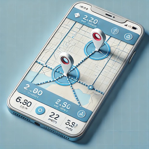
Allows users to calculate distance and area using GPS. Tap to start and stop tracking automatically as you move. Manually input points to specific areas. Save and share measurement data.
by Alec Downing★ 4.117 ratingsUtilitiesFreeData updated 2026-09-06
The app measures distances to a target using the device's camera. It calculates estimated distance and altitude after the user aims at a target, moves a set distance, and aims again.
The app calculates mulch quantities for landscaping projects using augmented reality. It provides precise measurements in bags or cubic yards/meters, supporting multiple units and saving project history.
Detect inclination using a digital . angles and ensure surfaces are . Includes a straight and 2D for precise measurements. Place device against surfaces to check alignment.