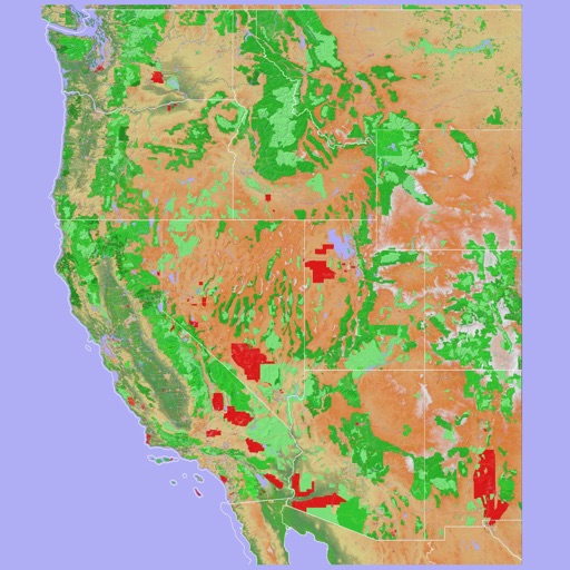
Navigate using vector maps with unlimited zoom. Plan and share routes. Import and view points of interest. Synchronize with a trip-planning site. Track location without cellular reception.
Navigate using a 3D topographic map of the USA and Hawaii. Access offline vector maps for navigation in vehicles or outdoors. Switch to online maps for global coverage with automatic caching. Explore locations with zoom and scroll features.
Plan trips by creating and sharing collaborative itineraries. Discover local cafés, viewpoints, and photo spots from community members. Navigate using real-time directions and location-based recommendations.
The app offers professional navigation without an internet connection. It includes real-time traffic reports, detailed maps of Israel, and smart voice guidance.