View METAR and TAF data for global airports. Set custom for takeoff, landing, and alternate weather conditions. Create alerts for weather changes using push notifications. Customize units for visibility, wind speed, and temperature.
Pilots can retrieve information by defining departure and destination airports. Apply filters to narrow results. View NOTAMs in text format or on an interactive map. Translate NOTAMs into multiple languages.
View live with animated loops up to two hours long. Track precipitation, temperature, and wind conditions. Set location-based alerts. Share images directly.
Access real-time data and control virtual . Tune global aviation radios or create custom radio aids. Practice navigation techniques and use as a training tool or supplementary instrument during flights.
Measure altitude using barometric pressure without GPS. Display real-time altitude readings. Track pressure changes over time. Set altitude alerts. Sync with Apple Watch for stand-alone use.
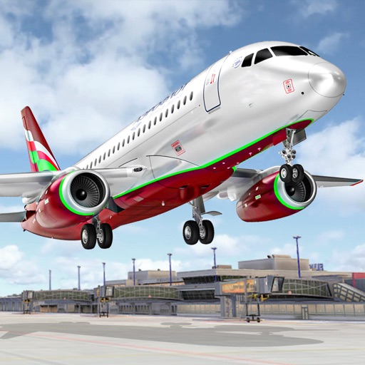
Control an to perform stunts and navigate through checkpoint rings. Transport passengers between cities and complete assigned tasks. Customize aircraft settings and manage in-game missions.
Professional weather network forecasts and alerts.
The app provides real-time forecasts, including current, hourly, and 10-day outlooks. It features 18 weather maps, lifestyle forecasts, and severe weather alerts for user needs.
Track flights with high-precision and plane maps. Check real-time status for delays, gate changes, or cancellations. View paths, altitudes, and speeds. Receive notifications for updates and arrival times.