Plan flights, track performance, access real-time data
Plan flights with real-time performance data and predictive analytics. Input aircraft details to calculate fuel consumption and optimal routes. Access weather information and regulatory data.
by Aircraft Performance Group, LLC★ 5.02 ratingsNavigationFreeData updated 2026-09-06
Calculate pressure and density altitudes, true airspeed, and mach number. Determine wind correction angle and true heading. Compute crosswind, headwind, and tailwind. Find ground speed and flight time. Calculate fuel burn and cloud base.
Pilots can search for FBOs and plan stops along flight routes. The provides discounted jet pricing from CAA Preferred FBOs. Users can compare prices and optimize flight routes for cost efficiency.
Navigate with truck-specific GPS routes that avoid low bridges and restricted areas. Access real-time traffic updates and offline maps. Find parking locations and weigh stations. Communicate via a driver-to-driver walkie-talkie feature.
Track flight turbulence by entering flight details to receive weather-based reports on turbulence intensity and likelihood. Save flight info for future trips and get updates before departure.
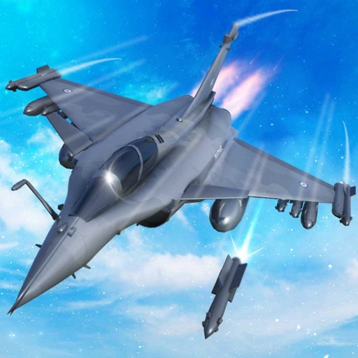
Train pilots for air combat missions. Customize jets with upgrades. Manage squad formations and tactics. Execute airstrikes on enemy positions. Track progress through mission-based challenges. Unlock new aircraft and weapons.
Access real-time weather data for flights. Create or modify flight routes. Retrieve preflight and inflight weather briefings. View enroute conditions. Share weather information with pilots. Sync with iPad for aviation-specific weather updates.
The app provides aeronautical publications and aviation maps for international use. Users can see their position on maps and download documents for offline access.
The app calculates aircraft performance without an internet connection, using data directly from the AFM. It integrates weight and balance into performance calculations and displays results in a TOLD card format.
Calculate wind components, temperatures, altitudes, and airspeeds. Input runway number, wind direction, and speed. Determine headwind, tailwind, and crosswind values. Adjust for parallel runways based on magnetic heading.
Track paths and monitor aircraft positions in real time. View weather data and airspace restrictions. Access preloaded charts and navigate without an internet connection. Set alerts and receive notifications for potential hazards.
Calculate the Great Circle between any two airports worldwide. Search by name, ICAO, or IATA code. View accurate measurements and flight path information.
Navigate using high fidelity airport maps and enroute displays. Access aeronautical data for flight planning. Streamline operations with integrated electronic flight folders. Monitor fuel efficiency and situational awareness during flights.