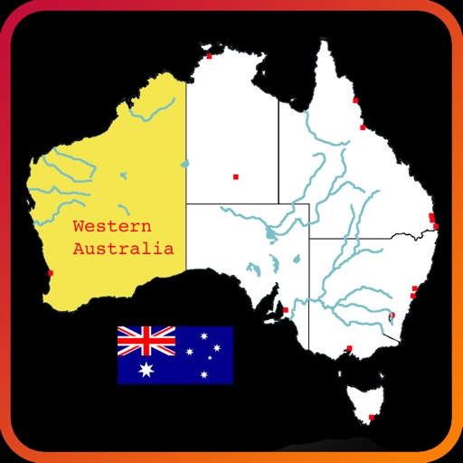
Explore an interactive map of to learn about rivers, lakes, mountain ranges, states, and city locations. Tap and drag to navigate, zoom, select, highlight, and pan the map. Test knowledge with a quiz mode. Build custom maps with selected features.
Scan food items with the camera to instantly log calories, protein, carbs, and fats. Identify meals and snacks automatically using AI. Track macros without manual entry or database searching.
Allows users to analyze space trusses using the Stiffness Matrix Method. It displays node displacements, member axial forces, and stress values. Users can check equilibrium by comparing loads, reactions, and moment arms within 3D model.