Stars and constellations with real-time sky maps. Locate celestial objects and track their movement. Identify planets and bright stars. Set location and time for accurate sky views. Save favorite stars and constellations for future reference.
Explore interactive exhibits and activities in a virtual . Navigate rooms with guided tours. Play games like digging for dinosaur bones, jousting, and space exploration. Learn about history and science through fun challenges.
Create and organize ideas using maps. Add notes, links, and images to nodes. Convert maps into presentations. Share and collaborate in real time. Sync maps across devices and access from any browser.
Catch animals by pointing the 's camera at them and releasing a Research Eye. Set up a Research Net at your feet to capture more. View captured animals in an illustrated collection book. Swipe to release animals back into the exhibition.
Create maps to organize ideas. Adjust structure, use colors and formats, add stickers, and apply themes. Export as images or PDF for sharing. Sync across Mac, iPad, and iPhone.
Track celestial objects by pointing the device at the sky. Identify stars, constellations, and deep sky objects in real time. Adjust settings for location and time. Save and share observations. View detailed information about celestial bodies.
Point your smartphone at the night sky to identify constellations, stars, and satellites. AR overlays display celestial names in real time. Swipe to navigate different directions. Receive alerts for ISS passes and meteor showers.
The app transforms an image mapped to the complex plane using a complex function parser. Users can select predefined images or import their own, then export or share the resulting image.
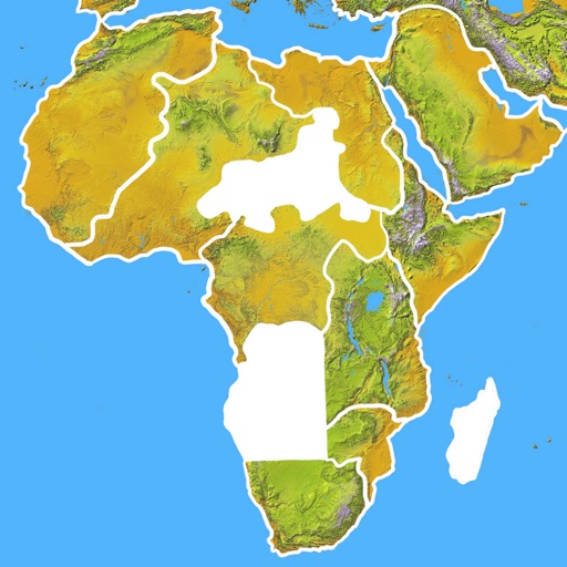
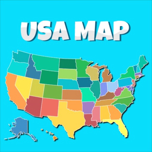
Learn geography by identifying countries, capitals, flags, emblems, currencies, and cities. Play quizzes in flag mode, capital mode, and elimination mode. Test knowledge and track progress through interactive challenges.