Learn U.S. , capitals, and flags through interactive map exploration. Scroll, zoom, and tap to identify locations, capitals, and flags. Track progress with a star system. Access regions like the West and Midwest for focused learning.
Explore interactive guides to museums, galleries, gardens, and cultural spaces. Access behind-the-scenes content, artist-curated videos, and audio materials. Plan visits with planning tools and look up information onsite using lookup numbers.
Listen to audio stories about artworks and explore the museum's collection through podcasts. Use Art Scan to view artwork details on your device. Navigate galleries with an interactive map.
Track volcanic activity with real-time updates and . View eruption history and current status. Explore global volcano locations with maps. Receive notifications from VAAC. Save and share volcano data.
Access museum information including current and upcoming exhibitions. Explore audio tours of the collection and special exhibitions. Experience 360° virtual tours. Use augmented reality to learn about Makart’s WHO IS WHO.
Learn geography by identifying countries, US states, UK counties, and London boroughs. Practice at your own pace with unlimited attempts or test speed with a timed challenge allowing three mistakes. View and compare top scores globally.
Explore interactive exhibits featuring ancient Egypt, dinosaurs, medieval jousting, and space exploration. Navigate a large with taxi service, purchase tickets at the front desk, and engage with hands-on activities in each exhibition wing.
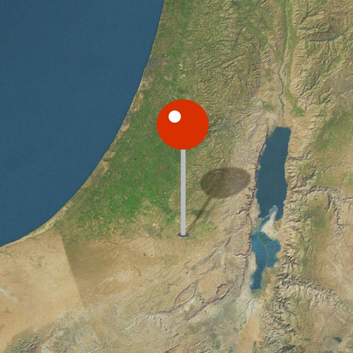
Explore biblical locations with interactive maps and historical artifacts. Zoom into detailed regions, view ancient sites, and discover how archaeological findings support biblical narratives.
Explore a 3D map of the Milky Way, Andromeda, and their satellite galaxies. Navigate through the Orion Arm to view nebulae and supernovae. Fly through planetary atmospheres and land on planets.
Navigate the Complex using built-in navigation. Select a guided tour or audio track for exhibits. Access additional materials and facts about displays. Follow a customizable route to explore exhibitions.
Learn by answering quizzes about countries, capitals, and flags worldwide. Play free quizzes for all regions or subscribe for additional content. Track progress and test knowledge on different continents.
Explore Museums' collections with interactive maps and exhibition details. View admission prices and opening hours. Access special exhibitions and historical information. Navigate museum locations and plan your visit. Share content via social media.
Explore celestial objects like stars, planets, and galaxies through 3D interactive views. Learn about their names, positions, and characteristics. Discover constellations and their stories.
Learn state facts through interactive . Explore maps, flags, seals, and capital cities of all 50 . Play educational to reinforce knowledge. Zoom in and out of maps with two-finger gestures. Tap shining stars to progress through lessons.
Explore the sky with real-time and planet identification. Use Augmented Reality for an immersive sky overlay. View celestial objects in 3D. Travel through time to see sky changes past or future.