

Apps Like MyHikes for iPhone and iPad
Track hikes, save trails, upload routes
Track hikes using background GPS to save routes locally. Upload tracks to .org account to view stats or request publication. Save hikes to device for offline use. Share routes with the community for discovery.
MyHikes screenshots
Ranked alternatives
Showing 421–440 of 1,000 ranked alternatives.



Cinque Terre Hiking Guide
CHARTA SERVIZI E SISTEMI PER IL TERRITORIO E LA STORIA AMBIENTALE SOCIETA'



Greenland Visually, Guide
Anders Peter Amsnaes
Find attractions and save locations
Find cultural attractions, campgrounds, and popular hikes using an interactive map. Save must-visit locations and receive instant directions. Access town guides and cultural information with in- purchases.

BoRa Rio
FUBA EDUCACAO AMBIENTAL E CRIATIVIDADE LTDA
Explore landmarks with interactive maps
Navigate the park using detailed geolocated maps. Access educational content about biodiversity, history, and architecture. Explore curated routes and trails for an interactive visit.


Crete Unlocked
DIMITRIOS MAKRIS
Explore attractions and plan your trip
Explore beaches, hiking trails, and ancient sites with detailed maps and local guides. Discover top attractions, book accommodations, and plan itineraries. Get real-time navigation and travel tips for an organized trip.


Rother: Hiking Tours & Maps
Bergverlag Rother GmbH
Route suggestions from professional authors.
The app offers route suggestions from professional authors and maps from qualified cartographers for outdoor experiences. Users can download maps for offline use, plan their own routes, and record adventures.

VT Trails
Tyler Elko
Explore Vermont's scenic trails confidently.
The app provides statewide USGS topographic maps and over 2,000 labeled trails for hiking, walking, and biking. It features a detailed track of Vermont's Long Trail with over 600 points of interest, including water sources and shelters.

Kauai Self-Driving Audio Tour
Hawaii Audio Tours LLC
Drive through jungles and coastline
Explore landscapes with guided narration covering jungles, coastlines, and cultural history. Learn about local traditions and the impact of the sugar plantation industry. Discover historical sites and cultural landmarks along the drive.

Maine Snowmobile Association
Mapgears Inc.
Explore trails, track your route, navigate safely
Track rides with breadcrumb navigation, distance measurement, and trip analysis. Manage snowmobiles with maintenance reminders and customization options. Access interactive maps for trail exploration and real-time navigation.


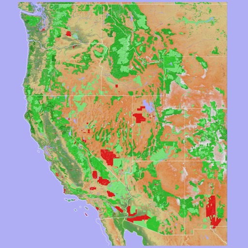
Scenic Map Western USA
Mark Granger
Explore 3D maps offline worldwide
Navigate using a 3D topographic map of the USA and Hawaii. Access offline vector maps for navigation in vehicles or outdoors. Switch to online maps for global coverage with automatic caching. Explore locations with zoom and scroll features.
How we rank alternatives
Apps are ranked by functional similarity, category fit, rating confidence, and popularity.