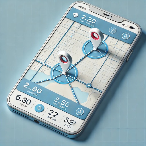
Land and distances using GPS by marking points on a map. Calculate field size, plot dimensions, and property boundaries. Save and share measurement data. Sync with other devices for accurate field surveys.
Track routes, find waypoints, and navigate offline
Navigate outdoors with offline GPS maps and real-time augmented reality. Track waypoints and custom locations. Use a gyrocompass, speedometer, altimeter, and inclinometer. Find celestial bodies and measure angles.
Measure distances by drawing routes on the map and calculating their length. Use a magnifier tool for precise line drawing. Switch between Move and Measure modes to set starting points or begin measurements immediately.
Distances between waypoints or calculate surface areas using map polygons. Set waypoints by tapping and holding. Choose units like kilometers, miles, or nautical miles. Access settings to change map type or view the manual.
Calculates distances between map points and areas of non-overlapping polygons. Users can switch between metric and imperial units. Coordinates are displayed in decimal or degrees, minutes, and seconds.
Distances, perimeters, and areas using GPS. Place markers on or objects. Share results with colleagues. Calculate quantities like spray or fertilizer needed. Export measurements for record-keeping.
Calculate land using GPS coordinates. Draw shapes on maps to fields or plots. Add GPS stamps to photos with location, time, weather, and compass data. View live maps and magnetic information.
Distances on maps by tapping to add route points. Calculate length of roads, buildings, or areas. Get accurate calculations without needing existing routes or ground features.
Record video of a with the pitcher and catcher. Select frames when the ball is released and when it crosses the plate. Adjust distance settings for different leagues. Calculate manually using the recorded frames.