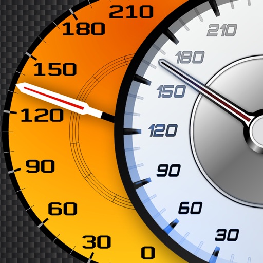
Display speed in miles per hour or kilometers per hour. Show altitude and direction. Switch units by tapping the screen. Track speed for cars, trains, buses, bicycles, and other vehicles.
by Misha Software Solutions, LLC★ 5.02 ratingsNavigation$0.99Data updated 2026-10-13
Track location, altitude, direction, and geographic coordinates on a map. View detailed with altitude changes. Share photos with location details including coordinates and address.
Calculates distances between map points and areas of non-overlapping polygons. Users can switch between metric and imperial units. Coordinates are displayed in decimal or degrees, minutes, and seconds.
Track speed with accurate GPS measurements and view average and maximum speed per trip. Choose units and monitor distance traveled and estimated travel time. Use turn-by-turn navigation to build routes.
Track speed in MPH and KPH with real-time updates. Monitor total distance traveled using odometer features. Utilize GPS for accurate speed and location data.
Track vehicles in real time with real-time location updates. Select a single vehicle for focused monitoring. View speed in miles per hour with color-coded indicators for movement and speed limit violations. Switch between map and satellite views.
Berliner Verkehrsbetriebe (BVG) Anstalt des oeffentlichen Rechts
Buy tickets for trains, subways, trams,
Buy tickets for trains, subways, trams, and buses directly from the official source. Download and view tickets within the . Select travel dates and routes. Choose between single trips or multi-day passes. Track ticket validity and expiration dates.
Convert currencies with real-time exchange rates and cryptocurrency support. Search by country or code. Use mode without internet. Sync across Apple Watch, iPhone, and Mac. View rates updated hourly. Display all world currencies. Show one ad per day.
Rent cars by the hour, day, or month directly through the . Book, unlock with smartphone, or collect keys from the owner. Includes AXA insurance and competitive pricing compared to traditional agencies.
Track speed, distance, elevation, and weather in real time. View travel time estimates. Access a Heads Up Display for quick information. Monitor trip details and receive alerts for speed limits and road conditions.
Unlock and pay for e- directly through the . Locate nearby stations, reserve a bike, and track ride duration and cost. View real-time availability and station maps. Receive notifications about bike status and service updates.
Navigate using drive and walk routes with real-time time and distance calculations. Search by address, place, or coordinates. View satellite maps and direction. Share locations, use compass, and track GPS.
Track routes, find waypoints, and navigate offline
Navigate outdoors with offline GPS maps and real-time augmented reality. Track waypoints and custom locations. Use a gyrocompass, speedometer, altimeter, and inclinometer. Find celestial bodies and measure angles.
Track vehicle speed using GPS or simulation mode. View detailed speedometer displays with realistic graphics. Hear authentic engine during acceleration. Explore speed data from popular supercars.
Book rides by tapping to match with others heading in the same direction. View real-time updates and estimated arrival times. Split costs among riders and track trip details. Receive notifications about ride status and driver information.
Navigate city streets with real-time transit updates
Plan trips by selecting start and end points on a map. View step-by-step directions and estimated travel times. Track real-time vehicle locations and arrival times. Receive alerts for delays or changes. Save favorite destinations for quick access.