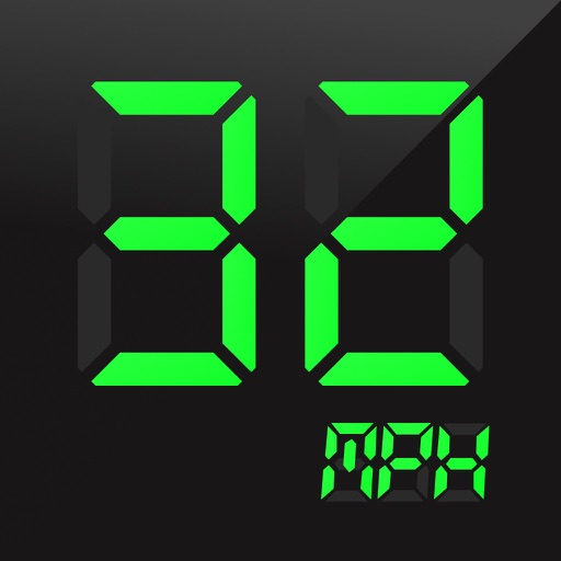
Display speed in miles per hour or kilometers per hour. Show altitude and direction. Switch units by tapping the screen. Track speed for cars, trains, buses, bicycles, and other vehicles.
by Misha Software Solutions, LLC★ 5.02 ratingsNavigation$0.99Data updated 2026-10-13
Provides GPS navigation with fast lock time and precise parameters. Supports multiple systems including GPS, Galileo, GLONASS, and QZSS. Diagnoses location issues and suggests fixes. Includes latitude, longitude, and WGS84 by default.
Save locations with exact GPS coordinates and altitude. View real-time weather and wind data. Use the compass for accurate direction tracking. Organize saved points and share coordinates directly.
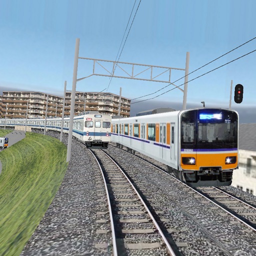
Trains following signals and precise physics calculations while managing simultaneous movements according to timetables. Operate switch rails, signals, and crossing gates.
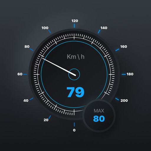
View current speed with a scalable . Track total distance and trip data including max and average speed. Export trip data as GPX, CSV, or KML files. Receive alerts when speed exceeds or falls below set limits.
Find nearby bike stations and unlock a bicycle for rides up to 2 hours. Choose from muscle pedaling, pedal-assisted, or child seat options. Select a subscription plan and track your trips within the .
View real-time maps showing precipitation types like rain, snow, and hail. Access detailed 24-hour and 14-day forecasts for any location. Receive severe weather alerts and track current conditions globally.
Provide turn-by-turn GPS navigation with lane guidance and spoken instructions. Display limits and integrated detection. Automatically record routes, showing distance, time, , and cameras encountered.
Provide turn-by-turn voice with real-time traffic updates. Display maps and satellite views. Access offline maps and GPS directions without internet. Find nearby food, events, and activities. Include Google Street View for location details.
Book flights, buses, trains, hotels, car rentals, cinemas, and events. Search real-time schedules and prices. Make payments securely and receive digital confirmations. Manage bookings and view itineraries. Cancel or modify reservations directly.
The app records vehicle travel data, displaying real-time measurements like speed, distance, and altitude. It offers features such as trip recording, customizable themes, speed limit alerts, and HUD mode.
Track ski descents automatically with speed, distance, and elevation data. Review daily summaries and save entries in a personal ski diary. Compare performances with friends and relive ski days through recorded sessions.
Book rides by tapping the to connect with others heading in the same direction. Track your driver in real time. Split costs automatically. Access routes and schedules for shared trips. Receive updates on ride status and estimated arrival times.
Plan trips using public transport, walking, cycling, buses, trains, trams, and cars. Find multi-modal routes, save personalized travel combinations, and view real-time schedules. Share trip details and receive route updates.