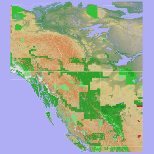
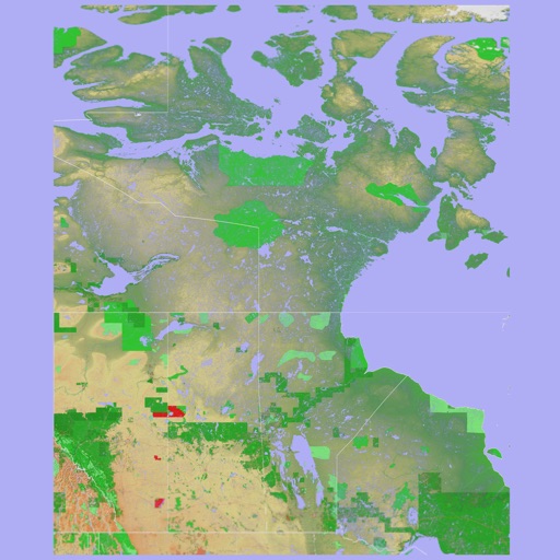
The app provides a 3D topographical map of Western Canada. Map data downloads to the device for use without an internet connection, allowing users to view terrain features as small as ten meters.
The app presents a 3D topographic map of Eastern Canada. Users can download map data for use without an internet connection, suitable for various travel methods.
Backcountry trips by importing GPX files to calculate travel time, calorie needs, and weather forecasts. Download packing lists and track remaining distance and time during the journey. View real-time weather conditions based on the forecast.