Visualize elevation, slope, and contours in 3D. Export data to DXF, SHP, CSV, OBJ, glTIF, and STL. Analyze terrain features and integrate with AutoCAD and GIS software. Perform quick data exports and simplify complex GIS tasks.
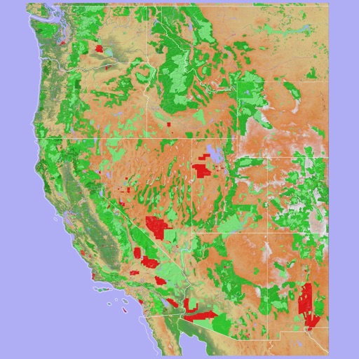
Navigate using a 3D topographic map of the USA and Hawaii. Access offline vector maps for navigation in vehicles or outdoors. Switch to online maps for global coverage with automatic caching. Explore locations with zoom and scroll features.
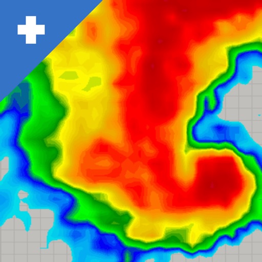
View real-time mosaics with 250-meter resolution for detailed storm tracking. Zoom in on weather patterns and analyze data. Save and share images. Access historical data for comparison. Set location-based alerts for severe weather conditions.
Navigate using augmented reality for real-time directions. Access offline maps and metro guides for and commuting. Explore interactive points of interest including public transport, dining, and attractions.
Measure distances and angles using a rangefinder and inclinometer. View real-time compass direction and GPS location. Overlay maps and take geo-tagged photos or videos. Calculate navigation routes and track elevation changes.
Play a fast-paced 1v1 basketball game with 3D HD graphics. Slide finger to shoot baskets and score points. Compete against opponents in real-time PVP matches. Track progress and improve skills to reach higher scores.
Find friends on a 3D resort map for Australia, NZ, USA, Canada, and Japan. View daily resort conditions and stats. Earn coins for discounts. Track leaderboards and challenges. Share real-time updates and compare performance with friends.
Record workouts with heart rate, speed, elevation gain, and other metrics. Import and export GPX and FIT files. View offline with custom tiles. Overlay routes from GPX, FIT, KML, or GeoJSON files. Generate walking and cycling directions.
Find parking spots near your destination with a map or search. Book or pay for parking on the go. View available spaces in cities across Canada. Receive notifications about parking availability and session details.
Navigate using a 3D topographic map of the USA with offline access. View vector map data without internet. Use in vehicles or during hikes. Switch to global online maps with automatic caching for areas without coverage.
The app provides offline mapping and GPS tracking on detailed Hema maps. Users can see their location on maps featuring roads, 4WD tracks, and topographic information to guide travel.
Play a first-person shooter game featuring team-based battles in various locations like prisons, storage areas, and small towns. Engage in combat against soldiers, snipers, and other players.