

Apps Like Topo Maps 2 for iPhone and iPad
Topo Maps 2 screenshots
Ranked alternatives
Showing 341–360 of 1,000 ranked alternatives.

OutDoors GB - Offline OS Maps
RoadTour LLC
Explore and navigate trails
Access detailed topographic and 15 GB of National Parks data. Navigate off-road trails, view elevation contours, and mark waypoints. Share and track progress with GPS. Sync with devices for real-time navigation.


Bristol Maps
Chris Hager
Navigate with latest satellite imagery
Navigate using high-resolution satellite imagery for Bay and Copper River watersheds. Access updated for accurate route planning. View real-time environmental changes. Mark and save fishing spots. Share locations with crew members.

GPS OS Grid Reference
John Spinks
Locate position on OS maps
GPS OS allows users to determine their location on Ordnance Survey maps of Great Britain and Ireland without needing a phone signal. It provides high-accuracy positioning using OSTN15 transformation data.

Repromap
Inside Outside Studios Inc.
Find map layers and track your location
Access real-time location data and choose from over 70 map layers for detailed boundary and land ownership info. View satellite, topographic, hybrid, and road maps. Set permissions and contact details for areas you visit.


LocaToWeb Realtime GPS tracker
Jarle Mjaasund
Track routes, share locations, send messages
Track location in real-time with GPS. Record routes and share positions with others. Take photos and send messages during activities. View duration, distance, speed, and altitude data. Allow loved ones to monitor your location for safety.



Whistler Area Ski Maps
Ryan Robertson
Navigate trails with topographic
View topographic and thematic of ski areas including Blackcomb and Olympic Park. Access trail descriptions and elevation profiles. Use location features to see current position on .

GPSLocator: Run, Hike & Sail
Ioannis Pinakoulakis
Real-time GPS tracking for outdoor activities.
The app provides real-time GPS tracking for outdoor activities. It offers route planning, navigation, and track recording with live statistics, all while ensuring user privacy with no data collection.


Virtual Dashboard
Kevinnovate, LLC
Customize dashboards with sensor data
Customize dashboards with configurable gauges like speedometer, odometer, GPS altimeter, barometric altimeter, accelerometer, artificial horizon, compass, and elapsed time. Swipe to switch views and access real-time sensor data from iPhone or iPad.


swisstopo
Bundesamt fuer Landestopographie
Navigate with detailed Swiss maps
View detailed Swiss maps with scales from 1:10,000 to 1:1 million. Access current aerial images and historical maps. Explore hiking trails, mountains, and snow sports routes. Use offline without login or ads.

Scenic Map Central USA
Mark Granger
Explore 3D maps offline worldwide
Navigate with a 3D topographic map of the USA. View detailed terrain and vector data offline. Use in vehicles or during outdoor activities. Access global maps online with automatic caching for offline use.
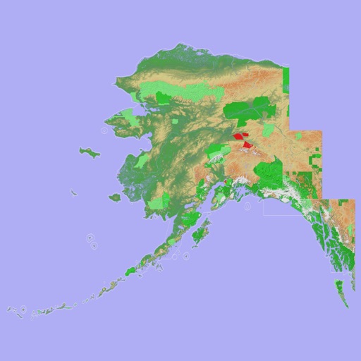
Scenic Map Alaska
Mark Granger
Explore 3D topo maps offline
View 3D topographic maps of offline with vector data. Navigate by car, boat, plane, or on foot. Access worldwide satellite maps online with automatic caching. Toggle between map types and zoom to any location.


How we rank alternatives
Apps are ranked by functional similarity, category fit, rating confidence, and popularity.