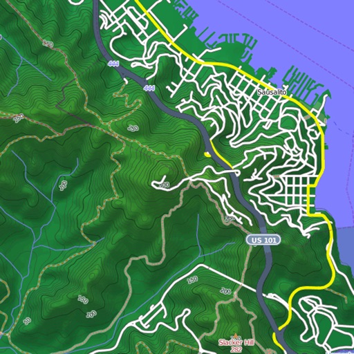
View and download detailed maps with topographical hillshading and contour lines. Store maps for offline use. Navigate using detailed terrain features. Find hiking trails, ski runs, and back streets.
Provides offline maps of lands. Users can search for points, view detailed descriptions, and save locations for later. The includes navigation tools, regulations, and seasonal information.
Navigate UK canals with detailed maps showing locks, bridges, aqueducts, tunnels, and facilities. View mile markers, boatyards, CRT notices, and local amenities like pubs and convenience stores.
Land using GPS technology. Define boundaries on maps to calculate plot sizes. Calculate distances and areas for properties or regions. Save and share measurement data. Sync with mapping services for accurate results.
Provide turn-by-turn navigation from current location or any starting point to a destination. Access a global database of locations including transit stops and user-shared points. Create and save custom routes.
Draw on OpenStreetMap maps to create notes, diagrams, and annotations. Add lines, text, symbols, and illustrations. Scroll, zoom, and use multi-touch during drawing. Save and share your sketches directly.
Navigate with live 3D satellite maps and voice guidance. View detailed road and building models. Access fishing and travel exploration tools. Use practical navigation features for precise route planning and real-time updates.